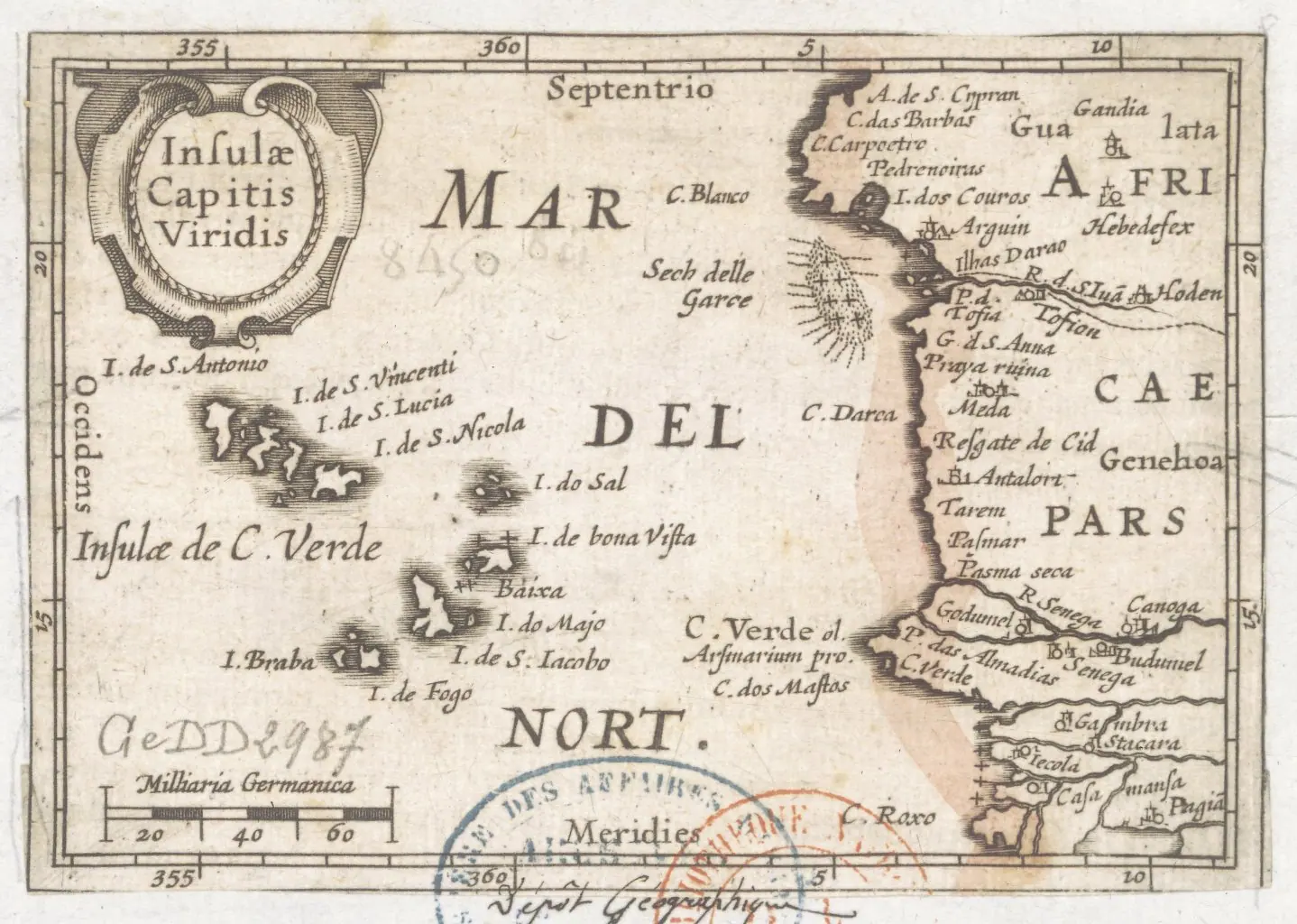
Cabo Verde is ten Atlantic islands with ten different personalities, strung far off the West African coast and reachable only by sea or by short-hop flights. Some people come purely for warm water and pale sand; others come to climb a live volcano, walk sugar-cane valleys and dance until dawn in Mindelo. Either way, the landmarks are the story.
The Landmarks That Define Cabo Verde
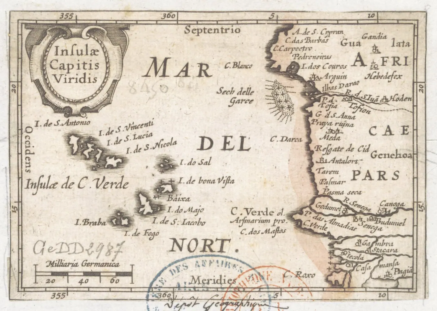
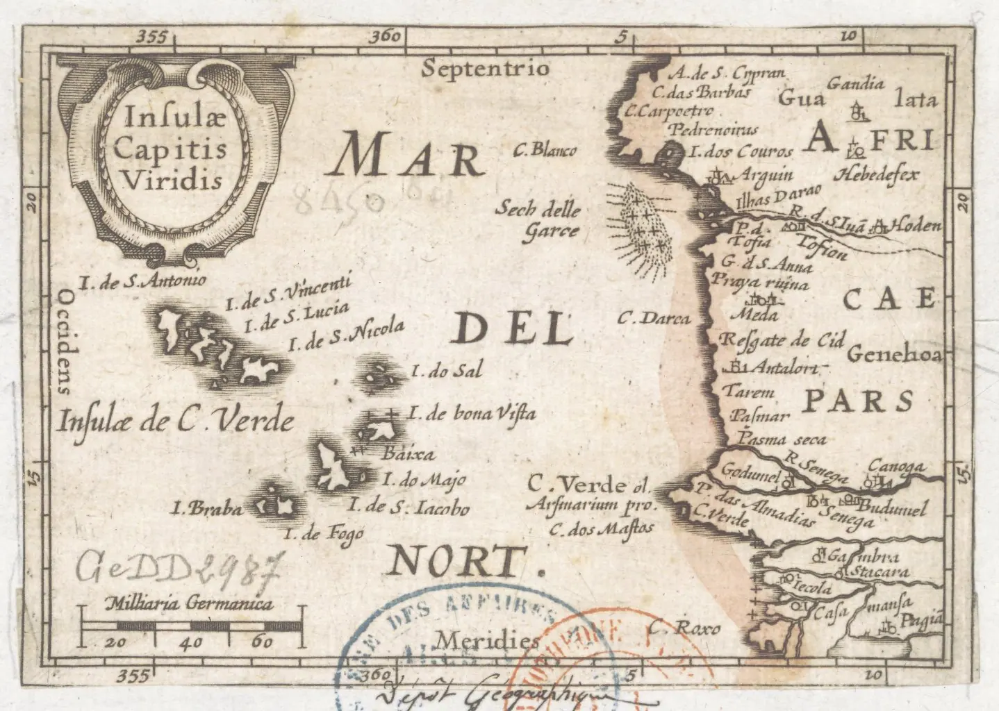
The country is an archipelago of ten islands and a few islets scattered roughly 570 kilometres west of the African mainland, and only nine are inhabited. That scatter is the whole point: each island has its own geology, its own accent in Kriolu and its own reason to visit. Most first-time travellers build a route around four or five of them rather than trying to tick off the whole chain.
At the top of nearly every list sits Pico do Fogo, the 2,829-metre volcano that dominates the island of Fogo — you can hike into its collapsed caldera and sleep in the villages inside it. On Santiago, Cidade Velha is the country's only UNESCO World Heritage Site and the oldest European colonial town in the tropics, with a cobbled lane called Rua Banana and a clifftop fortress staring out to sea.
Then come the water-and-light icons: the salt pans of Pedra de Lume on Sal, sitting inside an extinct crater, and Buracona's "Blue Eye", where sun through a collapsed cave turns the water electric turquoise. Add Santo Antão's terraced Paúl Valley, the empty kilometres of Praia de Santa Mónica on Boa Vista and Mindelo's harbour on São Vicente, and you have the skeleton of a two-week trip.
Santiago: Cidade Velha, Praia's Plateau and the Road to Tarrafal
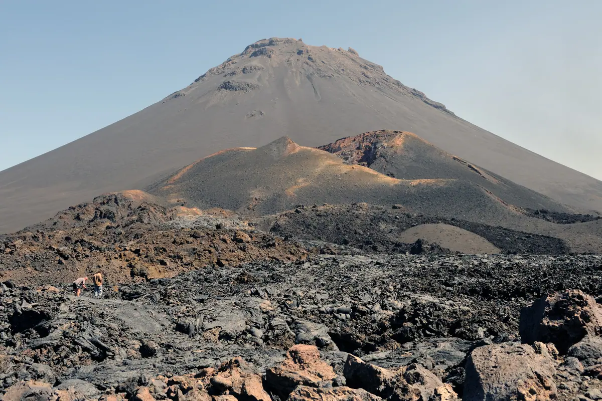
Santiago is the largest island and the seat of government, and it wears its history openly. The capital, Praia, spreads across a plateau above the sea; the old quarter, known simply as the Platô, is a grid of colonial buildings, small museums and the noisy, brilliant Mercado de Sucupira, where you'll find everything from fruit and fresh fish to fabrics. Go early — by mid-morning it is hot and loud.
Fifteen kilometres west, Cidade Velha is the reason many people come. Founded in the 15th century, it was the first European town in the tropics and is now protected as a World Heritage Site. Walk Rua Banana, climb to the Forte Real de São Filipe on the ridge for the best view back over the bay, and see the marble pillory that stands as a sobering reminder of the archipelago's role in the Atlantic trade.
Beyond that the island turns rural. The Serra Malagueta natural park offers cool, eucalyptus-scented ridge walks with sweeping views, while the north coast road leads to Tarrafal, whose beach is beautiful and whose history is not: a former colonial prison camp, now a small museum, sits in the middle of the village. Praia de São Francisco, half an hour east of the capital, is the easiest big beach day.
Fogo: Sleeping Inside a Volcano
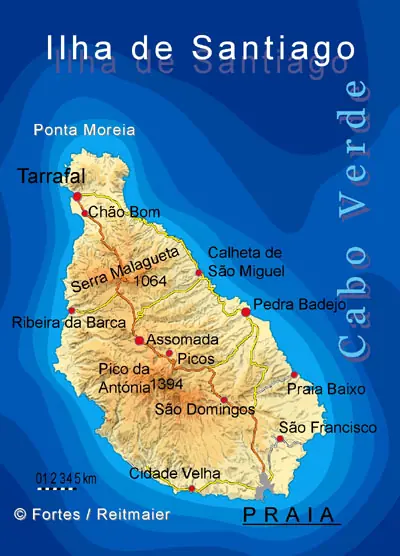
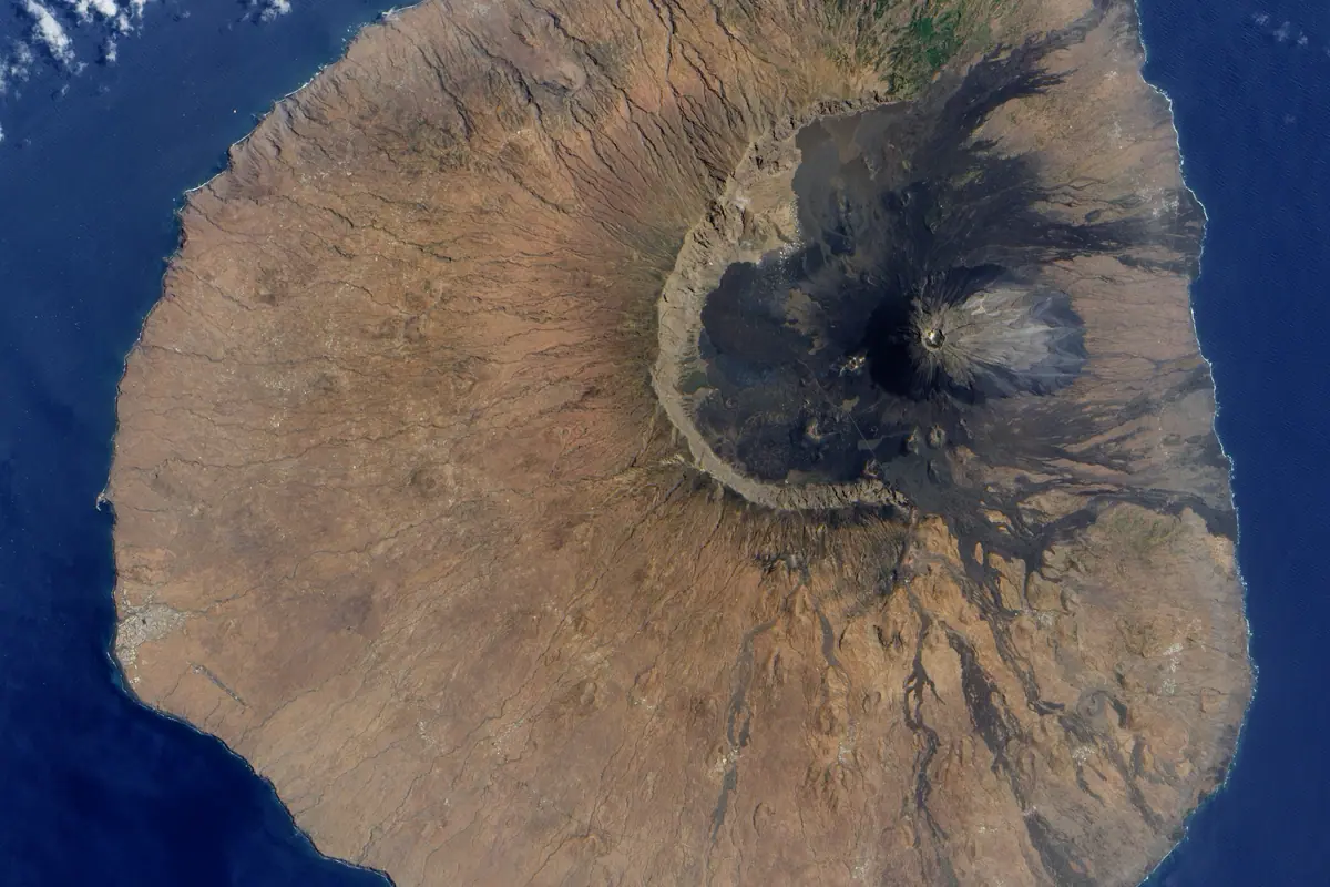
Fogo is the dramatic one. The island is essentially a single cone rising out of the sea, ringed by the Bordeira, an ancient crater wall several kilometres across. Inside it, at around 1,700 metres, lies Chã das Caldeiras, a scatter of villages where people farm, make wine and grow coffee in volcanic ash and rebuild after each eruption — the most recent, in 2014–15, took out two of the main settlements.
The signature activity is the climb of Pico do Fogo itself, the highest point in the country. It isn't technical, but it is long: most people start before dawn to beat the heat, spend three to four hours gaining the rim, and descend the loose scree far faster. Local guides are required and worth every escudo — they read the weather and the rock.
Give yourself a day to acclimatise and to eat. The volcanic soil produces surprisingly good wine and coffee, and the crater villages serve cachupa and grilled goat to walkers coming off the mountain. Down on the coast, São Filipe is one of the prettiest towns in the country, with cobbled streets and colonial sobrados facing the water.
Santo Antão: Ridges, Grogue and the Paúl Valley
If Fogo is fire, Santo Antão is green. The second-largest island is a spine of volcanic ridges cut by deep ravines, and the classic approach is the ferry from Mindelo to Porto Novo, then a climb by road over the Cova crater — a misty bowl of farmland at around 1,500 metres that feels like a different country entirely.
The famous walk descends from Cova into the Paúl Valley: roughly twelve kilometres and four to five hours of terraces, sugar cane, mango trees and irrigation channels, finishing in the village of Paúl. Other routes climb to Pico da Cruz for views across to São Vicente, or follow the old mule path out of Ponta do Sol, where the village of Fontainhas clings to a cliff edge above the Atlantic.
This is also grogue country. Small distilleries beside the roads press sugar cane in wooden mills and sell the spirit straight from the barrel, sometimes softened with honey or condensed milk. Carry cash and water, take a layer for the ridges, and hire a local guide for anything beyond the marked trails.
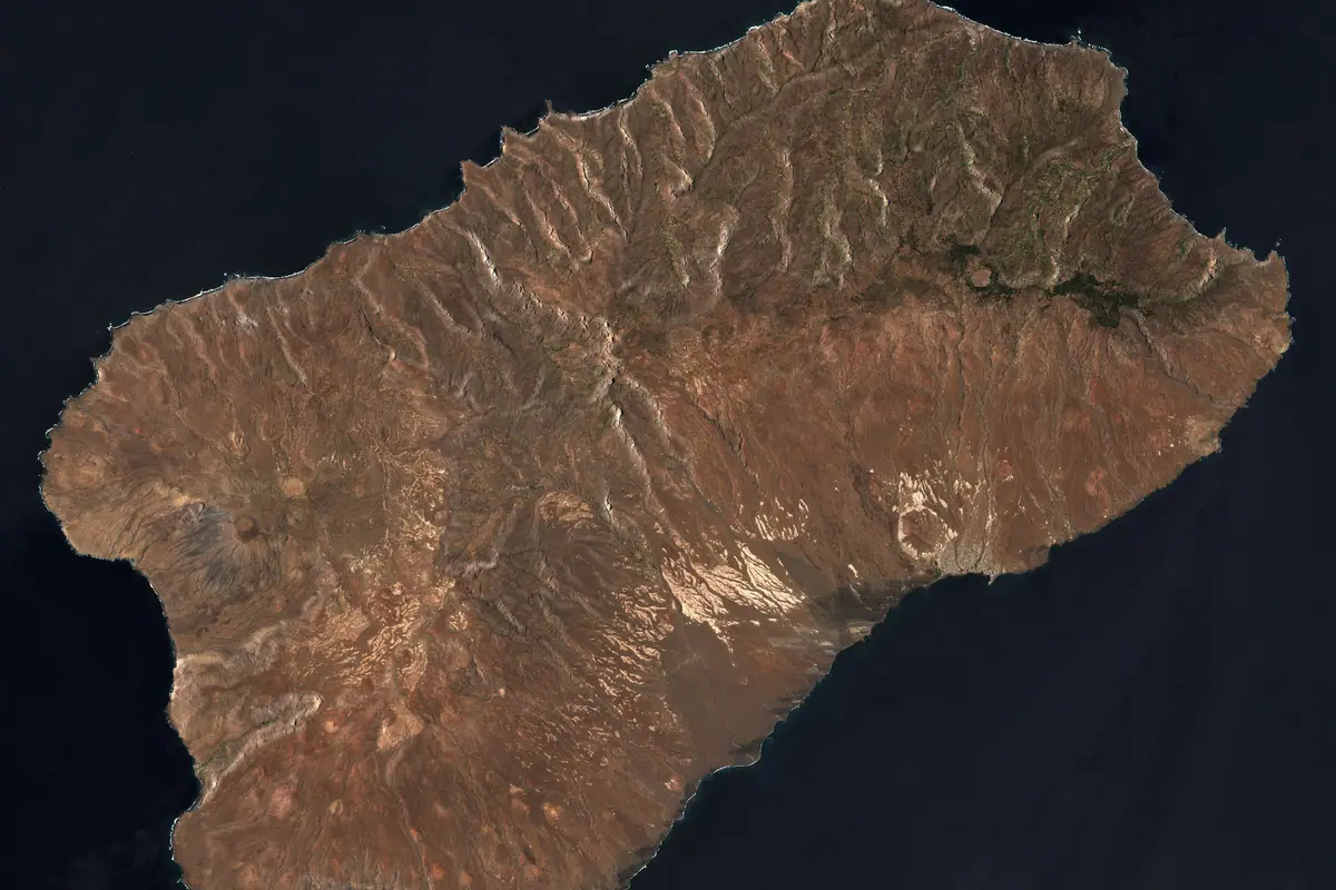
Sal and Boa Vista: Salt Pans, Sand and Sea Life
Sal and Boa Vista are the flat, dry, beach-first islands, and where most international flights land. On Sal, the resort town of Santa Maria anchors a bay of warm, calm water that's ideal for swimming, kitesurfing and windsurfing, with the strongest winds from December to March. North of town, the Salinas de Pedra de Lume sit inside an extinct volcanic crater: you float in brine so salty it is almost impossible to sink, while the evaporated pans glow pink and white.
Nearby, Buracona is a small bay where, when the sun is high and the tide is right — usually late morning — light falls through an underwater cave and lifts the pool into startling blue. Further along the coast, the shallow flats of Shark Bay are patrolled by juvenile lemon and nurse sharks; local guides lead visitors on foot through ankle-deep water at low tide.
Boa Vista is emptier still. Praia de Santa Mónica runs for kilometres of pale sand with no buildings in sight, the Deserto de Viana pushes dunes inland, and the rusting wreck of a freighter sits on the beach at Cabo Santa Maria. Between July and October, loggerhead turtles come ashore to nest on the island's eastern beaches, and humpback whales pass offshore between roughly February and May.
Mindelo, Music and the Quiet Islands
São Vicente's Mindelo is the cultural heart of the country and the home of morna, the melancholy, UNESCO-recognised song form that carries Cabo Verde's name around the world. The town is walkable and handsome: pastel colonial facades around the harbour, the fish market at dawn, Praia de Laginha for a swim, and Monte Verde, at 744 metres, for a panorama over the whole island.
Time a visit for carnival in February or March, or for the full-moon beach festival at Baía das Gatas in August, when the bay fills with stages and sound systems. Outside festival season, Mindelo is a good base for the short ferry hop to Santo Antão and for boat trips out to the uninhabited island of Santa Luzia.
The smaller islands reward anyone with extra time. Maio has salt pans, empty beaches and a sleepy colonial town; Brava, the greenest and smallest, is a tangle of flowers and tiny farms around Vila Nova Sintra; São Nicolau offers the old town of Ribeira Brava and serious hiking up Monte Gordo. Ferries and short flights connect them all, but schedules are thin — plan around them rather than through them.
Frequently asked questions
When is the best time to visit Cabo Verde?
November to June is the dry, sunny stretch and the safest bet for hiking on Fogo and Santo Antão. December to February brings strong trade winds, which is perfect for kitesurfers on Sal and Boa Vista but can feel breezy on the beach. August to October is warmer and more humid, with brief heavy showers that turn the greener islands lush. Sea temperatures hover in the mid-twenties year-round.
How do you travel between the islands?
Short flights link the main hubs — Sal, Praia, Boa Vista, São Vicente and Fogo — and typically take under an hour. Ferries cover the shorter hops, such as Mindelo to Porto Novo on Santo Antão in about an hour, or Fogo across to Brava. Longer inter-island crossings can be rough and infrequent, so build slack into your itinerary and book ahead in high season.
Do I need a guide to climb Pico do Fogo?
Yes, local guides are required and generally arranged in Chã das Caldeiras the day before. The round trip takes five to six hours, most parties set off before dawn to avoid the heat, and the descent is on loose scree. Bring layers, wind protection, plenty of water and sturdy shoes — it is a long walk, not a technical climb.
What should I eat and drink in Cabo Verde?
Cachupa, the slow-cooked corn and bean stew, is the national dish and comes in vegetarian, fish and meat versions. Look for pastel com diabo dentro (tuna pastries), grilled tuna and octopus, and goat stew in the Fogo highlands. For drinks: grogue, the raw sugar-cane spirit of Santo Antão, volcanic-soil wine from Chã das Caldeiras, and locally grown Fogo coffee.
How many islands should I try to see?
Two islands comfortably fill a week; four islands need ten days to two weeks, because inter-island transfers eat a day each. A classic first route pairs Sal or Boa Vista for beaches with Santo Antão for hiking, or Santiago for history with Fogo for the volcano. Resist adding more — the small islands are best when you slow down.
Plan it — experiences in Cabo Verde
Live search, booked directly with trusted providers.
Sort the rest of your trip
Everything for Cabo Verde, in one place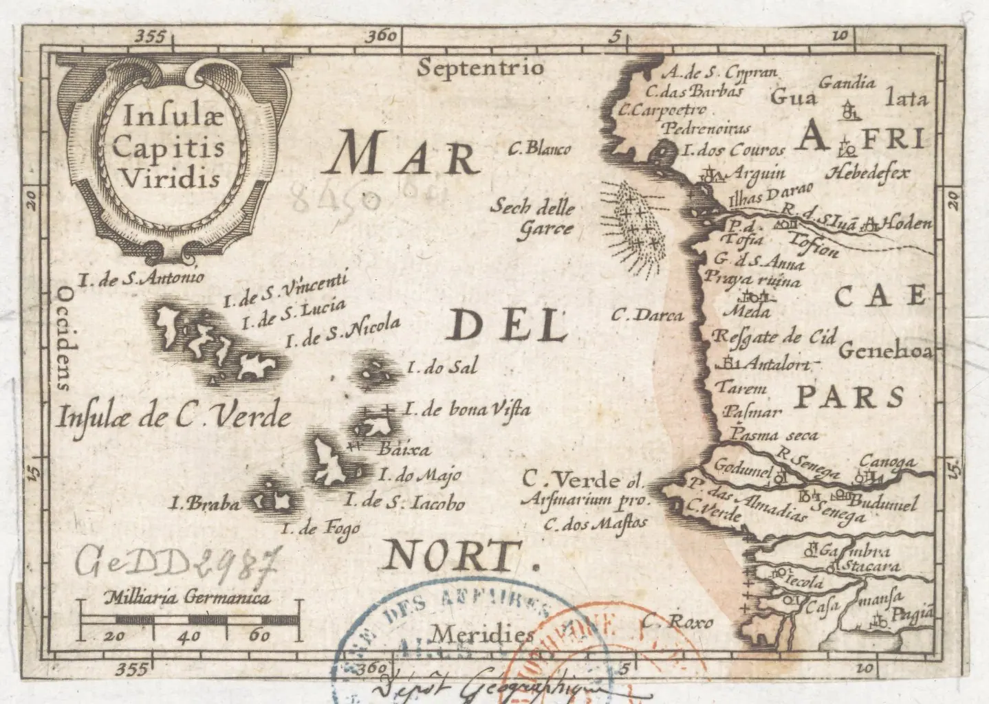
Stay in Cabo Verde
Hotels, guesthouses and apartments — compared in one search.
Search hotels
Transfer in Cabo Verde
Private driver waiting on arrival — no queues, no surprises.
Book a transfer
Stay online in Cabo Verde
Travel eSIM — data the moment you land, no roaming bills.
Get an eSIMMore guides in Cabo Verde
Cabo Verde Food, Culture and Local Experiences: Cachupa, Morna and Grogue
One Week in Cabo Verde: An Island-Hopping Itinerary by Flight
Best Places to Visit in Cabo Verde: A Island-by-Island Guide
Where to Stay in Cabo Verde: Hotels, Islands and the Sights Worth the Boat Ride