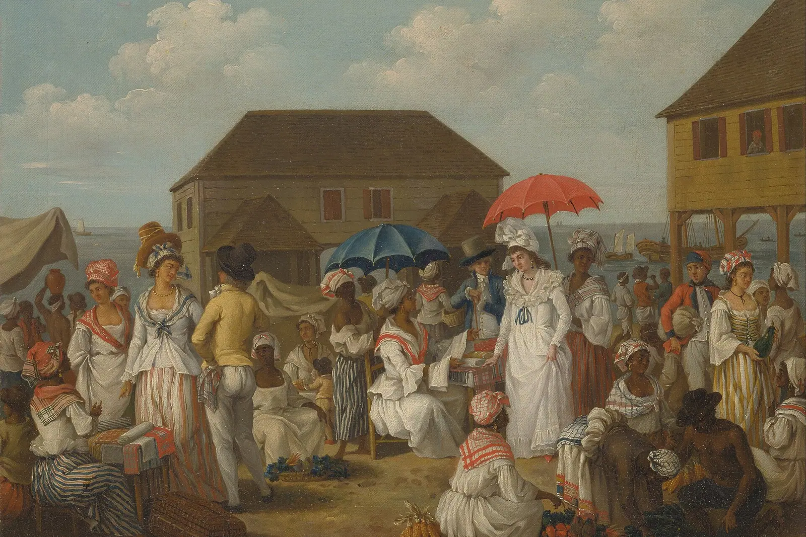
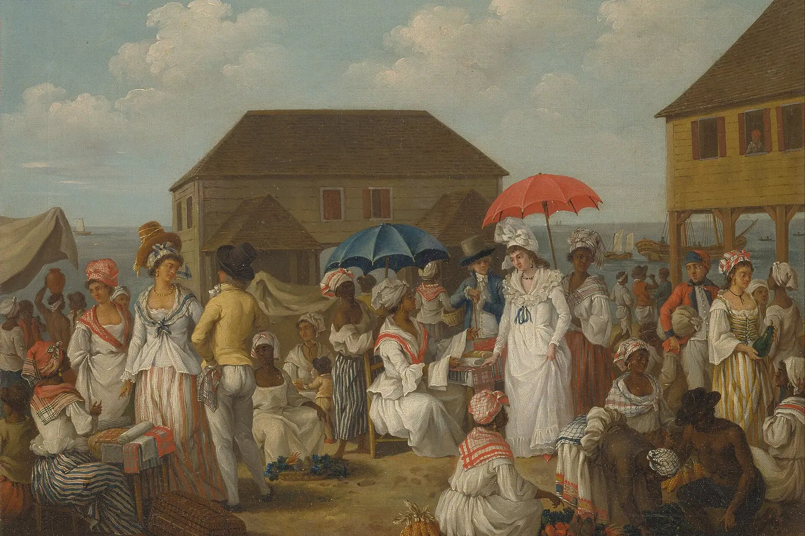
Dominica does not do the Caribbean in postcards. It does it in steam, in spray and in the sound of water falling through rainforest. This is the island where you trade beach bars for boiling lakes, black-sand coves and coral reefs that fizz like champagne.
Why Dominica Feels Like a Different Caribbean
Dominica sits in the middle of the Lesser Antilles, wedged between Guadeloupe to the north and Martinique to the south, and it is the one island in the chain that feels more mountain than beach. A volcanic spine runs its length, crowned by Morne Diablotin at roughly 1,450 metres, and the slopes below are wrapped in rainforest so dense that the island has never needed theme parks or mega-resorts. There are black-sand coves, cold rivers, hot springs and a great deal of mist. Locals like to say there is a river for every day of the year, and once you have driven the interior roads, the claim stops sounding like a boast.
The result is a destination built for people who want to move: hiking boots rather than a sun lounger, though there is plenty of lounging to be had on the quiet northern beaches. Mornings are for trails, afternoons for swimming up gorges or drifting over coral, and evenings for rum punch and Creole cooking in small village bars. Because the island is compact, you can hike a volcanic crater at dawn, snorkel through volcanic bubbles at noon and watch the sun drop behind the mountains in the evening — all without feeling rushed.
Most travellers arrive by air into the northeastern airport near Marigot, which has a spectacular approach over the mountains, or by ferry from Guadeloupe or Martinique into the capital, Roseau. Driving is on the left, the roads twist constantly, and a rental car is the difference between seeing one coast and seeing the whole island. Give yourself at least five days; a week is better.
Into the Fire: Boiling Lake, the Valley of Desolation and Morne Trois Pitons
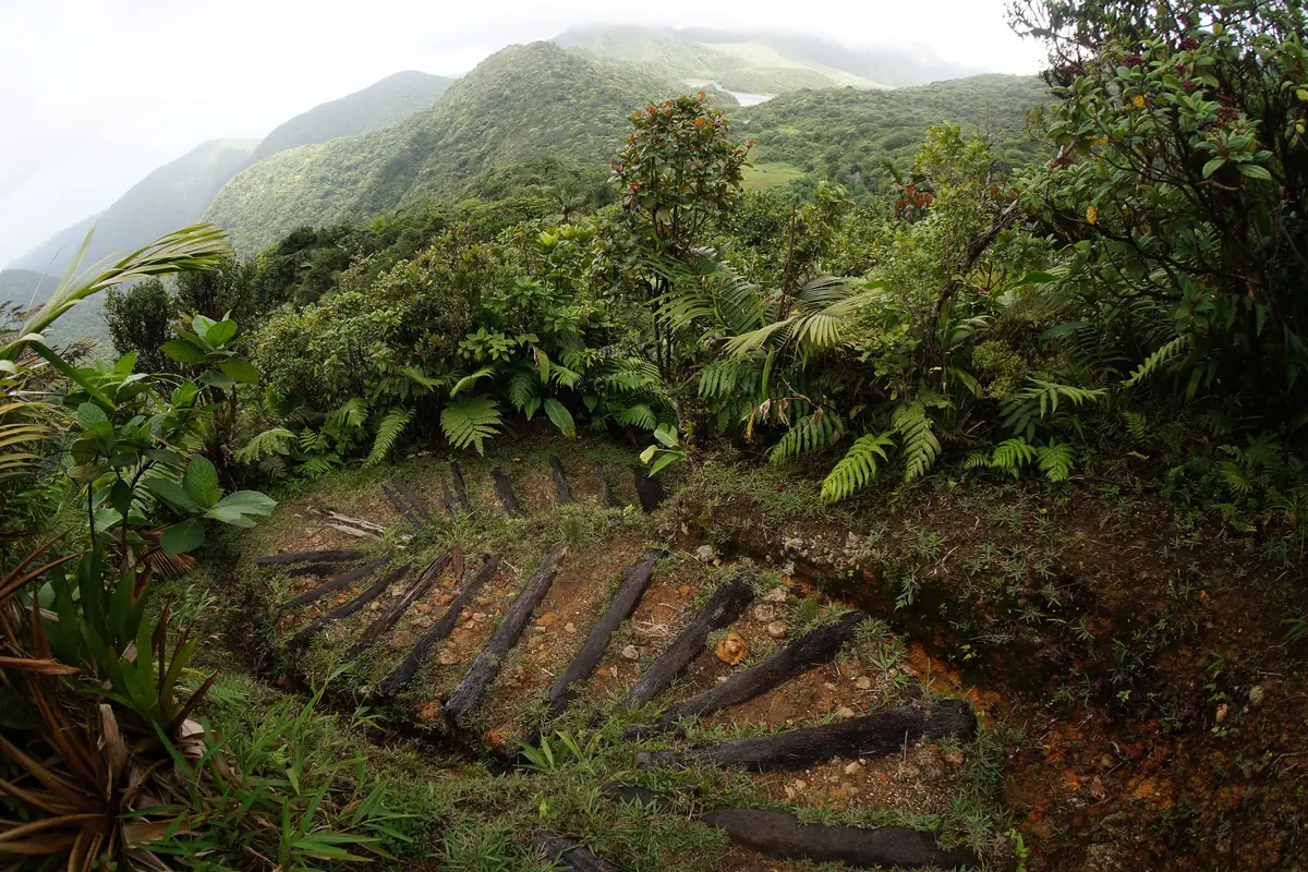
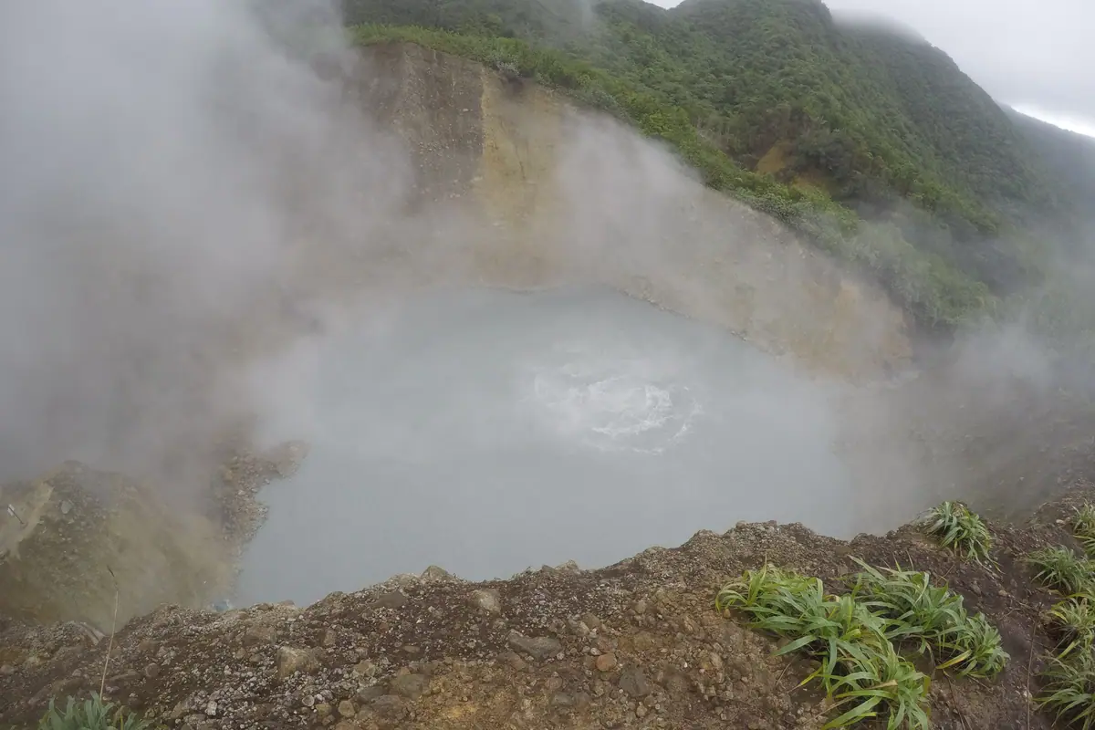
The centrepiece of any serious visit is the hike to Boiling Lake, high inside Morne Trois Pitons National Park, a rainforest reserve in the island's southern interior with internationally recognised World Heritage status. This is a full day out — six to eight hours there and back, starting from the village of Laudat and climbing first through elfin forest before descending into a landscape that looks nothing like the Caribbean you imagined. The lake itself is a vast cauldron of grey water shrouded in steam, heated from below by volcanic activity and among the largest of its kind anywhere in the world.
Reaching it means crossing the Valley of Desolation, a raw field of fumaroles, sulphur-crusted streams and warm mud that hisses underfoot. The trail is steep, muddy and often slick, with river crossings and rope-assisted sections, so a local guide is strongly advised and, for most visitors, essential for both navigation and pacing. Weather changes fast — you can start under blue sky and finish in cloud and rain — so leave Laudat by mid-morning at the latest, carry more water than you think you need, and wear shoes with real grip.
The same park holds easier rewards if the big hike is too much. Middleham Falls is a tall, thunderous plume reached in about an hour of walking, and Boeri Lake sits in a cool crater above Freshwater Lake, which is the largest lake on the island and reachable by road. Further north, the forests around Morne Diablotin are the best place to look for the endemic Sisserou parrot, found nowhere else on earth; the Syndicate Trail on the mountain's western flank is the classic spot for a sighting at first light.
Waterfall Country: Trafalgar Falls, Titou Gorge and Emerald Pool
If Boiling Lake is the challenge, the waterfall circuit is the reward — and it sits within a short drive of Roseau. Trafalgar Falls is the island's most photographed sight: twin cascades known locally as the Father and the Mother, tumbling side by side into a rocky basin. A well-built path from the visitor centre reaches a viewing platform in ten minutes, and from there a scramble over boulders drops you into warm pools at the base, where hot mineral water seeps in from the surrounding springs. Arrive before ten in the morning to have it largely to yourself.
A few minutes up the valley, Titou Gorge is short but unforgettable — a slot in the rock that you swim up, in cold, clear water, until the walls close in and a waterfall pours down at the far end. Life jackets are provided and the swim takes perhaps fifteen minutes, yet it stays with you far longer. It is also a smart choice on a wet day, when the coast turns grey but the gorge stays sheltered and swimmable.
Emerald Pool, deeper inside the park, is the easiest of the lot: a flat ten-minute walk to a green pool fed by a single ribbon of water and ringed by dripping rainforest. Its accessibility makes it the busiest stop on the island, so come at opening time or late afternoon. Beyond these three, the east coast offers bigger adventures — Sari Sari Falls and Victoria Falls both demand proper riverbed hikes — while the hot springs around Wotten Waven are the place to soak afterwards.
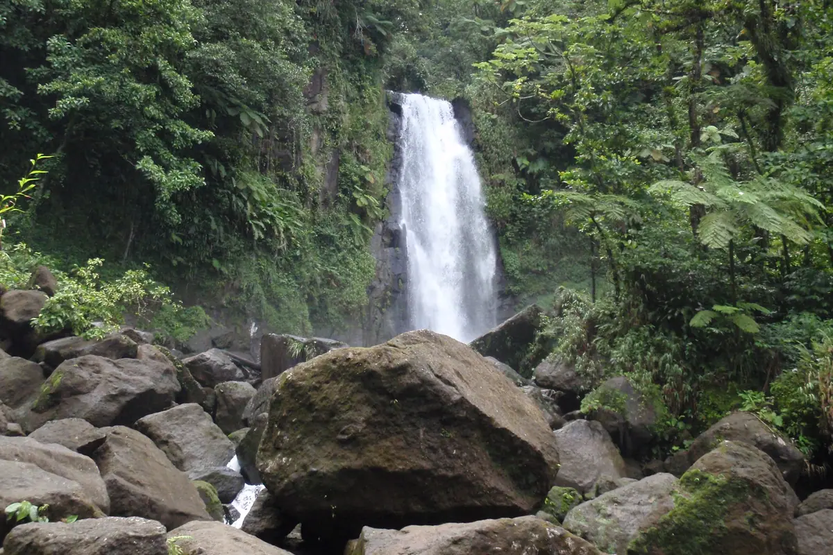
Champagne Reef, Scot's Head and the Soufrière Coast
Dominica's volcanic geology does not stop at the shoreline. At Champagne Reef, just south of Roseau, warm gas bubbles stream up through coral and sponge from vents on the seabed, so snorkellers and divers swim through what feels like a glass of sparkling wine. It is a shore entry with easy access and shallow water, best on a calm morning before the trade winds pick up and chop the surface.
Continue south and the island narrows to Scot's Head, a slender isthmus with the calm Caribbean on one side and the open Atlantic on the other, guarded by the ruins of an old fort and a small fishing village. Soufrière Bay here is a marine reserve of dramatic drop-offs, pinnacles and walls draped in black coral, and it is the island's signature dive area. Whale-watching boats work these waters too: sperm whales live around Dominica year-round, and sightings are most reliable between November and March, when mothers and calves gather. Dolphins and pilot whales are regular bonuses.
Back in the capital, Roseau is compact, noisy and worth half a day. The Botanic Gardens hold a famous curiosity — a huge baobab tree that toppled and came to rest across an old school bus, still there decades later — along with views up to Morne Bruce, the ridge-top lookout over the city and the sea. Below, the old market and the Saturday produce market are the places to try Creole cooking: callaloo soup, bakes, grilled fish, and juices pressed from soursop and passion fruit.
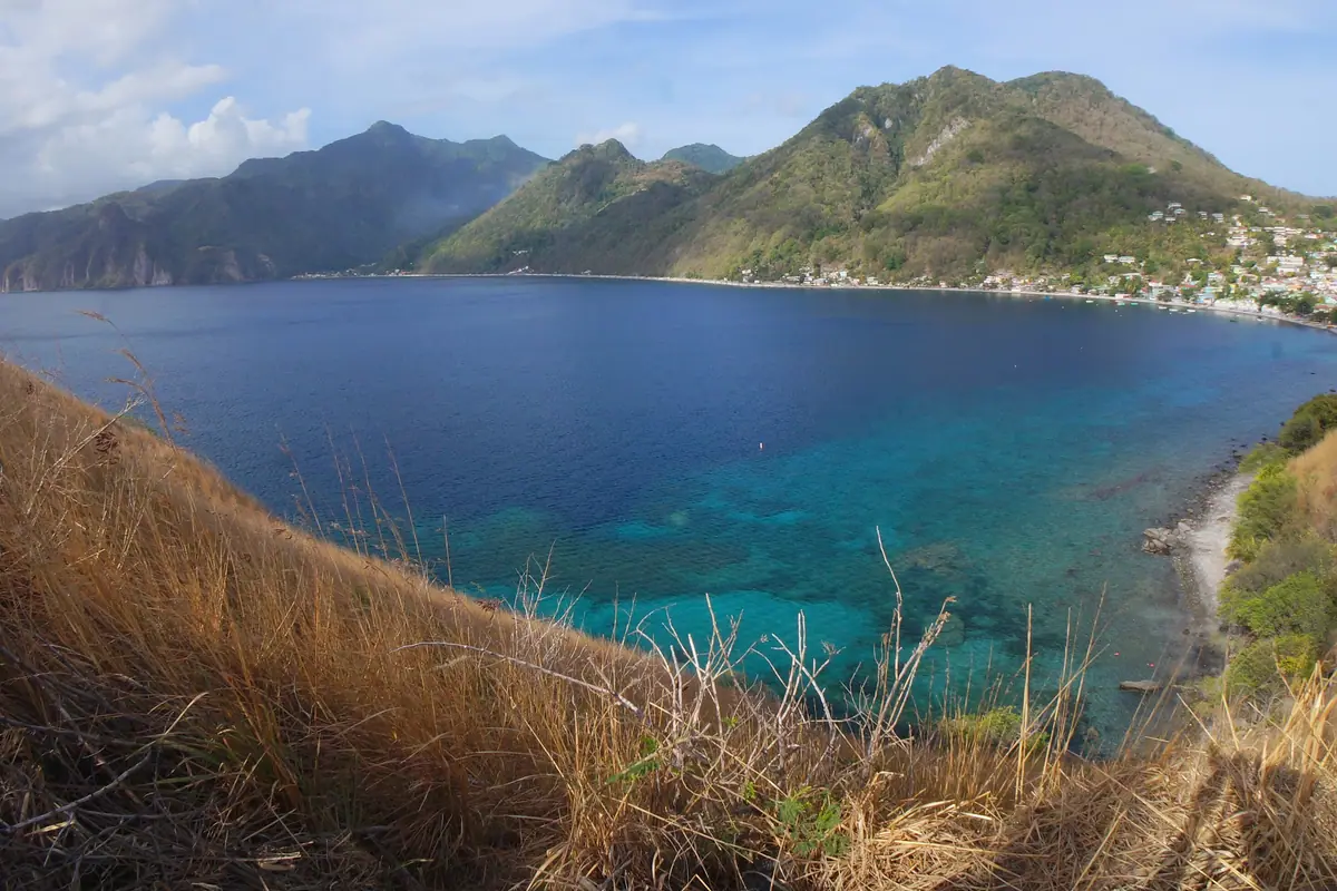
The North and East: Cabrits, Fort Shirley, the Indian River and the Kalinago Territory
In the north, Cabrits National Park protects a headland above Prince Rupert Bay, and its centrepiece is Fort Shirley, a partly restored eighteenth-century garrison with grassy ramparts, cannons and long views across the water to Portsmouth. Wander the officers' quarters and the powder magazine, then take a boat up the Indian River, where oars and a slow engine carry you through mangrove tunnels and rainforest so thick it forms a green roof. Herons, kingfishers and hummingbirds are common, and the trip takes about an hour.
On the wild Atlantic side, the Kalinago Territory is home to the Kalinago people, the island's indigenous inhabitants, and the cultural site at Kalinago Barana Autê offers a genuine, unhurried insight into their history: traditional thatched huts, cassava bread-making, carving, and dance performed in a clearing above the sea. The road from there passes villages with a slower rhythm than the capital, and further northeast the coast around Calibishie hides some of the island's finest beaches, including palm-backed Batibou Beach and the striped cliffs and black rocks at Red Rock.
Threading all of this together is the Waitukubuli National Trail, a long-distance route of fourteen segments running roughly 185 kilometres from Scot's Head in the south to Cabrits in the north, crossing farmland, rainforest, waterfalls and old plantation tracks. You do not need to thru-hike it: every segment can be walked as a day trip, and a trail pass covers access. The sections near Scot's Head in the south and the interior segments around the Morne Trois Pitons foothills are the most rewarding for casual walkers.
When to Go, What to Pack and How to Get Around
The dry season runs from December to April, when trails are firmest, seas calmest and whale-watching at its best. June to November is hurricane season, with September and October typically the wettest months; rain here is warm and often brief, but heavy downpours can close gorges and make the Boiling Lake trail genuinely dangerous. Temperatures hover in the high twenties to low thirties Celsius all year, so the real variable is rain, not heat.
Time a visit around the festivals if you can. Carnival, known locally as Mas Dominik, fills the streets in February or March with costumes and calypso; Jazz 'n Creole takes over the Cabrits in May; Dive Fest in July brings the underwater world to the surface; and the World Creole Music Festival in late October is the biggest party of the year. Book accommodation early for all of them, because beds are limited and mostly in small, family-run guesthouses and eco-lodges rather than large resorts.
Practicalities: start hiking days early, since clouds build by midday; carry reef-safe sunscreen, insect repellent, a dry bag and shoes you do not mind ruining. Driving is on the left along narrow, winding roads; taxis and minibuses cover the main routes, and ferries link Roseau with Guadeloupe and Martinique. Bring cash in the local Eastern Caribbean dollar, learn a few Creole greetings, and accept that the island's greatest sights — a steaming lake, a gorge you swim through, a forest full of endemic parrots — are the ones you have to earn.
Frequently asked questions
Is Dominica the same as the Dominican Republic?
No. Dominica is a small independent island in the eastern Caribbean between Guadeloupe and Martinique, known as the Nature Island. The Dominican Republic is a much larger country sharing the island of Hispaniola with Haiti, with different language, currency, food and scenery.
How long does the Boiling Lake hike take and how hard is it?
Expect six to eight hours round trip from Laudat, with steep, muddy sections, river crossings and rope-assisted scrambles. A local guide is strongly recommended, and you should start in the morning, carry plenty of water and wear shoes with real grip.
When is the best time to visit Dominica?
December to April offers the driest trails and calmest seas. November to March is peak season for resident sperm whales. June to November is hurricane season, with September and October wettest, though rain is often short and warm.
Do I need a guide to hike in Dominica?
Not for short, marked trails such as Emerald Pool or the Trafalgar Falls path. Guides are advised for Boiling Lake, Victoria Falls and Sari Sari Falls, where routes are unmarked, cross rivers or pass through remote rainforest.
What should I not miss on a first trip to Dominica?
Boiling Lake, Trafalgar Falls, Titou Gorge, Champagne Reef, Scot's Head, the Indian River and Fort Shirley at Cabrits, and the Kalinago Barana Autê cultural site. Add a beach day at Batibou Beach and a hot soak at Wotten Waven if time allows.
Plan it — experiences in Dominica
Live search, booked directly with trusted providers.
Sort the rest of your trip
Everything for Dominica, in one place
Stay in Dominica
Hotels, guesthouses and apartments — compared in one search.
Search hotels
Transfer in Dominica
Private driver waiting on arrival — no queues, no surprises.
Book a transfer
Stay online in Dominica
Travel eSIM — data the moment you land, no roaming bills.
Get an eSIM