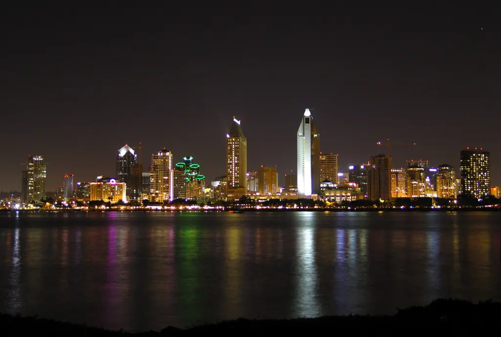
Guatemala packs an improbable amount into a country the size of England: pyramid-topped rainforest, a lake cupped inside a collapsed volcano, colonial ruins softened by earthquakes, and a highland culture that still speaks two dozen Maya languages. Come for the landmarks, stay for the mornings when the volcanoes burn off their clouds.
Tikal and the Maya Cities of the Petén Rainforest
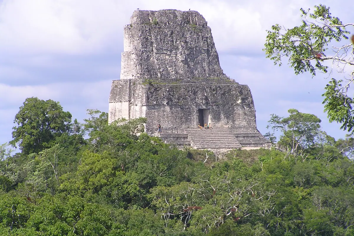
No image prepares you for Tikal. You walk in along a limestone causeway, howler monkeys sounding like distant jaguars in the canopy, and then the world's tallest pre-Columbian structure — Temple IV — rises out of the trees, its roof comb cutting a notch in the sky. From the wooden staircase on top you look across a green ocean where three more temples break the surface: Temple I, the Great Jaguar, facing the Great Plaza, Temple II, and the massive Temple V. The site holds thousands of structures spread over some 16 square kilometres, and the overwhelming majority are still unexcavated mounds buried under roots.
Plan a full day, or two half-days with a break back in Flores. Arriving at opening around 6am buys you cooler air, fewer people and the best chance of wildlife — toucans, oscillated turkeys, spider monkeys and coatis that patrol the picnic areas for crumbs. Most visitors base themselves on the little island of Flores, an hour from the ruins, reached by a short domestic flight from Guatemala City or a long overnight bus; Tikal's own lodges put you inside the park for dawn.
Beyond Tikal, the Maya world keeps unfolding. Yaxhá, set above a lagoon, is quieter and superb at sunset. Quiriguá, near the Caribbean lowlands, is a World Heritage site for its carved stelae, including the tallest ever found in the Maya region. Closer to Antigua, Iximché was the Kaqchikel capital and is still used for ceremonies, while the colossal El Mirador — with the vast La Danta pyramid — demands a five-day return trek through dense jungle from the village of Carmelita.
Antigua Guatemala: Cobblestones, Convents and Volcano Views
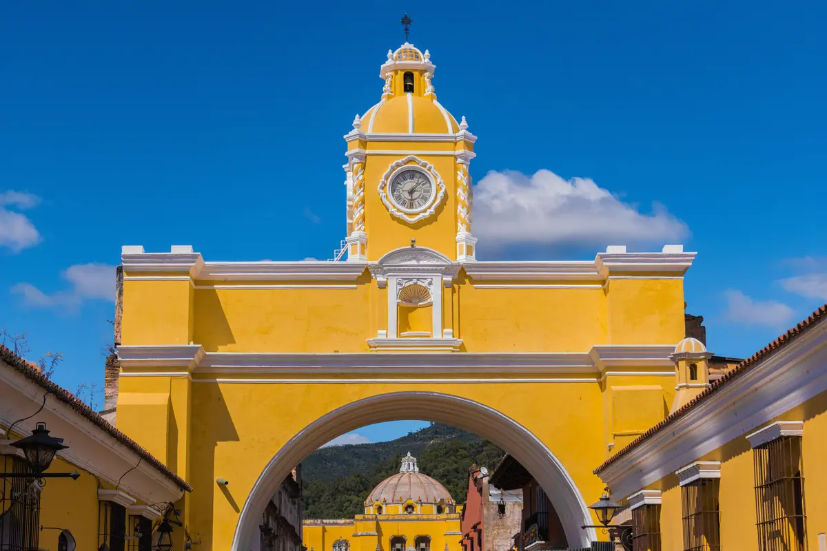
Antigua was the Spanish colonial capital of Central America until a series of earthquakes in 1773 sent the administration packing to what is now Guatemala City. What remains is a grid of low, tile-roofed houses and ruined convents, protected as a World Heritage site and framed by three volcanoes: Agua, Fuego and Acatenango. The heart of it is the Plaza Mayor, flanked by the Cathedral of San José and the long arcaded Palacio de los Capitanes, and a few blocks north stands the Santa Catalina Arch, once a bridge for cloistered nuns crossing the street unseen.
The pleasure here is slow wandering. Climb to Cerro de la Cruz for the postcard view of the town laid out beneath Volcán de Agua, step into Iglesia de La Merced with its butter-yellow facade, and visit the San Francisco Church, where pilgrims queue to touch the tomb of Hermano Pedro. Convent ruins such as Las Capuchinas and Santa Clara offer cloisters, crypts and gardens where you can hear only birds. After dark, candlelit courtyards turn into restaurants serving pepián and kak'ik, two of the country's great stews.
Antigua sits at around 1,530 metres, so days are spring-like year-round and nights need a jacket. The town's defining event is Semana Santa, when Holy Week processions shuffle over alfombras — carpets of dyed sawdust, flowers and pine needles laid on the cobbles and swept away as the floats pass. Dates shift with Easter, accommodation sells out months ahead, and prices spike. Outside that week, it is the perfect base for coffee-farm tours on the volcano slopes, Spanish classes and day trips to the craft villages of the Sacatepéquez highlands.
Climbing Guatemala's Volcanoes — Pacaya, Acatenango and Fuego
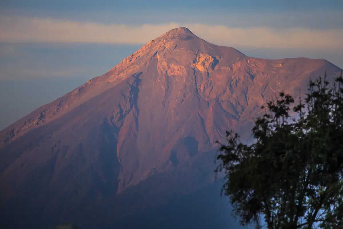
Guatemala has a chain of volcanoes running roughly parallel to the Pacific coast, and several are climbable. The beginner's choice is Pacaya, an hour from Antigua: a steady two-hour ascent through pine and lava fields to a cone where guides will toast marshmallows over geothermal vents. It is popular, doable in half a day, and a good first taste of altitude on the cheap.
The unforgettable one is Acatenango. This is an overnight trip — a brutal four to six-hour climb up loose volcanic scree to a camp at roughly 3,600 metres, where you pitch a tent facing the neighbouring Volcán de Fuego. Fuego erupts constantly, sometimes every 15 to 20 minutes, throwing orange arcs of lava above the clouds and a rumble you feel through the ground. It is cold, ash gets in everything, and summit pushes at dawn start around 4am, but almost nobody regrets it. Book with a certified guide, carry at least three litres of water, and pack layers that would be ridiculous in Antigua.
For quieter alternatives, Volcán San Pedro rises straight from the shore of Lake Atitlán with a steep, muddy pre-dawn hike rewarded by sunrise over the caldera; Santa María, above Quetzaltenango, offers a long, less trafficked climb; and Tajumulco, at 4,220 metres the highest point in Central America, can be done as a cold overnight camp with no technical equipment.
Lake Atitlán and the Maya Highlands
Lake Atitlán fills a giant caldera in the western highlands, ringed by volcanoes and dotted with villages that each speak a different Maya language and specialise in a different craft. Panajachel is the busy gateway, with its main street of textiles and boats leaving from the dock. From there, lanchas hop between Santiago Atitlán, where the Tz'utujil community keeps a shrine to Maximón and some of the country's finest backstrap weaving; San Juan La Laguna, beloved for its naïve painters, coffee cooperatives and women-run dye and weaving workshops; and San Pedro La Laguna, a low-key spot for Spanish schools, kayaks and hikers heading up the volcano behind it.
The best single view is from Indian Nose, the ridge above San Juan, reached by a pre-dawn hike of about 45 minutes to an hour so you can watch first light hit the water with three volcanoes behind it. Sunrise here is reliably cold and reliably spectacular.
Further into the highlands, Chichicastenango holds one of the great markets of the Americas on Thursdays and Sundays, spilling around the whitewashed church of Santo Tomás, where incense and prayers mix with the smell of grilled corn. Quetzaltenango, known as Xela and sitting at 2,333 metres, is the second city, a cool, cultured base for hot springs and mountain villages; and on 1 November, Todos Santos Cuchumatán stages a wild, beer-fuelled horse race for the Day of the Dead.
Semuc Champey, the Cahabón River and the Caribbean Coast
Deep in Alta Verapaz, near the scruffy little town of Lanquín, Semuc Champey is a limestone bridge about 300 metres long carrying a chain of terraced turquoise pools while the Cahabón River roars underneath it, unseen, through a natural tunnel. Climb to the mirador first — a sweaty 20-minute scramble — to understand the scale, then spend hours swimming from pool to pool. Add-ons include a candle-lit wade through the K'anba caves and a trip down the river on an inner tube. The final road in is rough, so most people arrive by shuttle or organised tour from Cobán, Antigua or Flores.
East of there, the Río Dulce gorge opens onto the Caribbean at Livingston, a Garífuna town reachable only by boat, where Afro-Caribbean cooking, Creole English and a relaxed, reggae-soaked rhythm feel like another country entirely. Order tapado, a coconut seafood stew, and take a boat out to the hot waterfall at Finca El Paraíso on the way.
On the other side of the country, the Pacific coast offers something completely different: black-sand beaches such as Monterrico, mangrove boat trips, and turtle hatcheries that release hatchlings at dusk between roughly August and January. Surfers head for El Paredón, where the waves are consistent and the sunsets are enormous.
Guatemala City and Practical Planning
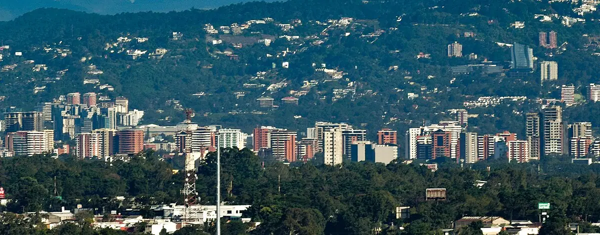
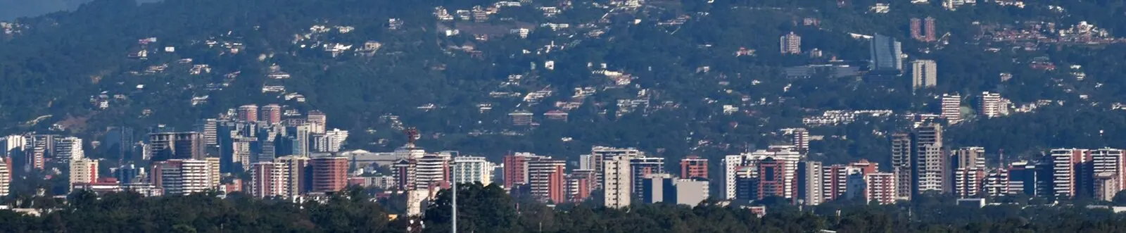
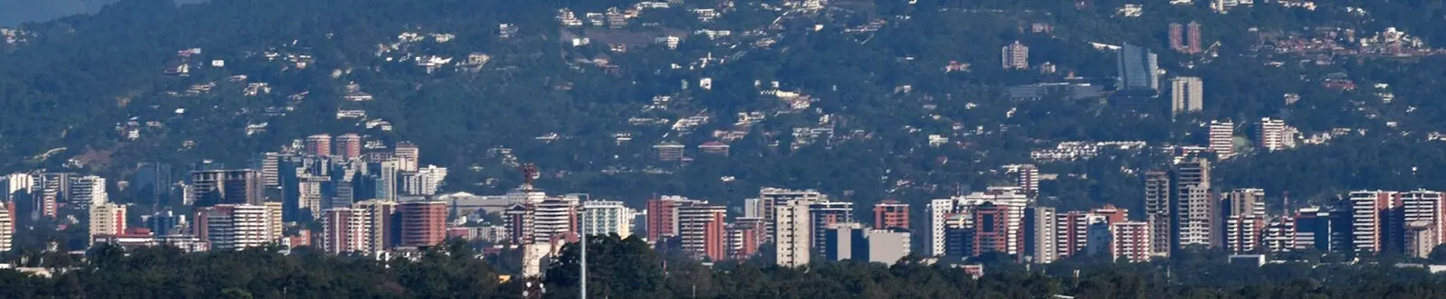
Most travellers treat the capital as a transit hub, which is a mistake for half a day. Around the Plaza de la Constitución sit the Palacio Nacional de la Cultura, a green-walled monument with murals and stained glass worth a guided visit, and the Metropolitan Cathedral with its squat twin towers. A few blocks away, the Mercado Central is a maze of stalls, and in the south of the city the Museo Popol Vuh holds one of the finest collections of Maya art anywhere, with the Museo Ixchel next door explaining the weaving traditions you have been admiring all trip. Zona 1 is best explored in daylight; Zona 4 has the restaurants and Zona 10 the hotels.
Timing is everything. The dry season runs roughly November to April: clear volcano views, firm trails and easy travel around Lake Atitlán, Semuc Champey and the Petén. May to October is the rainy season — usually a sunny morning followed by an afternoon downpour — with lush green landscapes, lower prices and fewer visitors. Carry a rain shell even in the dry months.
Give yourself at least ten days, ideally two weeks, to combine Antigua, Lake Atitlán and Tikal without spending your holiday in a minibus. Tourist shuttles link the main hubs comfortably; colourful chicken buses are cheaper, slower and an experience in themselves; and short flights save a full day if you're heading to Flores. The currency is the quetzal, altitude affects the highlands, and a few polite words of Spanish will open doors everywhere.
Frequently asked questions
How many days do you need in Guatemala?
Two weeks is ideal. That allows roughly three days in Antigua, three at Lake Atitlán, two to three around Tikal and Flores, two for Semuc Champey or the Río Dulce, plus travel days. A one-week trip can work if you limit yourself to Antigua and Lake Atitlán, or Antigua and Tikal by domestic flight.
When is the best time to visit Guatemala?
November to April is the dry season, with clear skies, good trekking conditions and reliable volcano views — and it's the busiest, priciest window, especially around Easter. May to October brings afternoon rain, greener scenery, fewer crowds and lower rates. Holy Week processions and the 1 November kite festivals and horse races are highlights if your dates align.
Is Tikal worth visiting, and how long should you spend there?
Yes — it's the country's defining landmark. Allow a full day, or enter at opening around 6am and leave by early afternoon. Staying overnight in Flores or at a park lodge lets you reach the ruins before the tour buses and hear the howler monkeys at dawn.
Can a beginner climb Acatenango?
It's physically demanding rather than technical: four to six hours uphill on loose scree to about 3,600 metres, followed by a very cold night and an optional 4am summit push. Most people with reasonable fitness manage it with a certified guide, but acclimatise for a few days at altitude first and pack serious layers.
How do you get around Guatemala?
Tourist minibuses connect Antigua, Lake Atitlán, Lanquín, Cobán and Flores comfortably and are the standard choice. Local chicken buses are far cheaper but slower and crowded. Domestic flights to Flores from Guatemala City save a long overland haul to Tikal.
Plan it — experiences in Guatemala
Live search, booked directly with trusted providers.
Sort the rest of your trip
Everything for Guatemala, in one place
Stay in Guatemala
Hotels, guesthouses and apartments — compared in one search.
Search hotels
Transfer in Guatemala
Private driver waiting on arrival — no queues, no surprises.
Book a transfer
Stay online in Guatemala
Travel eSIM — data the moment you land, no roaming bills.
Get an eSIMMore guides in Guatemala
Where to Stay in Guatemala: Best Areas, Hotels and Must-See Sights
Tours in Guatemala: Food, Maya Culture and the Sights You Can't Miss
Best Time to Visit Guatemala: Seasons, Festivals and When to Book Your Hotel
Guatemala in One Week: A 7-Day Itinerary from Antigua to Tikal