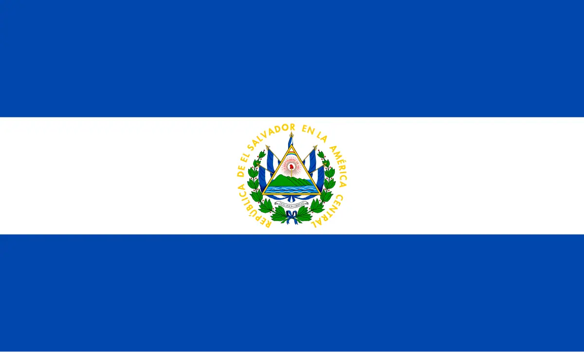
El Salvador is the smallest country in Central America and one of the easiest to cross in a single week: you can stand in a Maya village buried by ash in the morning and be paddling into Pacific surf before sunset. Flying into El Salvador International Airport, roughly 45 minutes south of the capital, puts you at the start of a loop that stitches together colonial towns, coffee highlands and black-sand beaches.
Day 1: Landing in San Salvador and the Historic Heart
Most flights land at El Salvador International Airport, set in the coastal lowlands of La Paz department. Clear immigration, pick up a rental car or arrange a private transfer, and you are rolling into San Salvador within an hour, passing sugarcane fields before the volcanoes rise on the horizon. Drop your bags in the Zona Rosa or Escalón districts, where cafés and hotels cluster, and spend the afternoon on foot in the Centro Histórico.
Start at Plaza Barrios, the city's civic square, flanked by the Palacio Nacional and the Catedral Metropolitana, where the tomb of Óscar Romero draws pilgrims. A few blocks away, Iglesia El Rosario is the surprise of the capital: a concrete shell from the outside that opens into a rainbow of stained-glass light across the nave. Wander the Mercado Central for a first plate of pupusas — thick corn cakes stuffed with cheese, beans or pork, always topped with tangy curtido coleslaw — and finish the day at the Monumento al Divino Salvador del Mundo, the roundabout statue that functions as the country's unofficial emblem.
Practical notes: taxis and ride-hailing apps are cheap and easy in the capital, but traffic is heavy between 5pm and 7pm, so plan your evening around it. If you are acclimatising gently, the Parque Nacional El Boquerón on the rim of the San Salvador volcano is a 30-minute drive uphill and a fine first taste of crater views.
Days 2 and 3: Volcano Country and the Maya Route
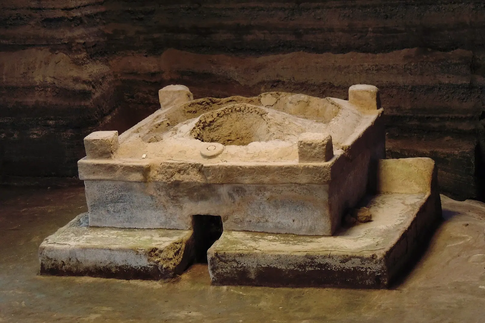
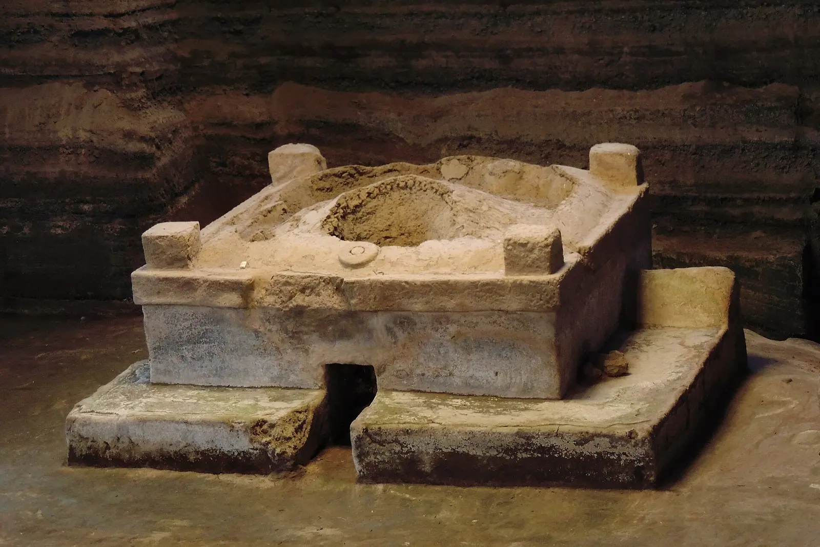
Head west along the Pan-American Highway toward the ruins that make El Salvador remarkable. Joya de Cerén, a UNESCO World Heritage Site often described as the Pompeii of the Americas, is a 600 AD farming village sealed under volcanic ash; you walk a covered boardwalk looking down at preserved adobe houses, sleeping mats and even a sweat bath. Nearby San Andrés covers a much larger ceremonial complex with pyramids and a small site museum, and further west in Chalchuapa, Tazumal rises as the country's most impressive restored Maya pyramid, its stone stairways framed by ceiba trees.
Base yourself in Santa Ana for two nights. The city's neo-Gothic Catedral de Santa Ana dominates the central plaza, and the Teatro de Santa Ana, a restored 1910 opera house, offers tours and evening performances. From town, the Santa Ana volcano (Ilamatepec) is the country's signature hike: a steady two to three hour return climb through cloud forest to a turquoise crater lake that steams faintly at the edges. Nearby, Cerro Verde gives you a gentler loop with views over the cone of Izalco, the lighthouse volcano that once guided ships.
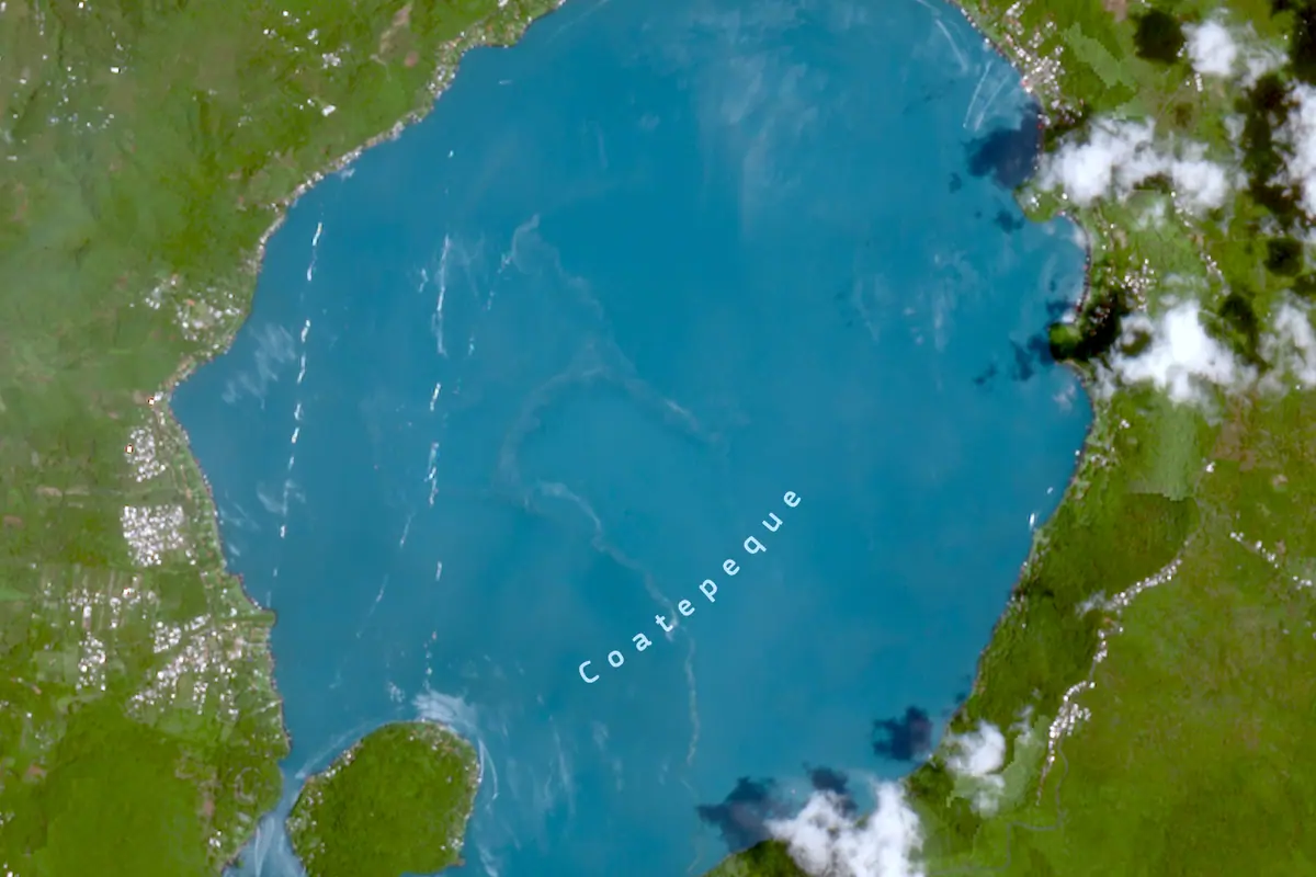
Break up the volcano days with Lago de Coatepeque, a deep blue caldera lake ringed with restaurants and swimming docks, perfect for an afternoon of kayaking and fresh fish. If you have time, the archaeological park at Cihuatán north of the capital adds another layer to the region's pre-Hispanic story. Note that the dry season, roughly November through April, gives the clearest crater views; from May to October expect warm mornings and afternoon downpours that can make trails slick.
Day 4: The Ruta de las Flores
Northwest of Santa Ana, the Ruta de las Flores strings together coffee towns along a cool, green corridor of the Apaneca-Ilamatepec range. Begin in Nahuizalco, known for its night market and woven palm crafts, then push on to Juayúa, where a weekend food festival fills the plaza with grilled meats, yuca frita and sweet riguas. Salcoatitán is quiet and photogenic, and Apaneca sits high enough for misty mornings and coffee finca tours.
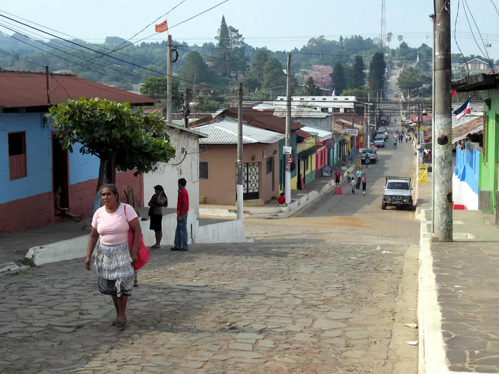
The star for many travellers is Concepción de Ataco, a grid of cobblestone streets, brightly painted murals and flower-filled balconies. This is where you should slow down: buy a bag of locally roasted beans, order a cortado in a courtyard café, and watch the afternoon clouds roll over the hills. If the weather holds, the waterfalls at Los Chorros de la Calera near Juayúa and the hot springs outside Ahuachapán are worthwhile detours.
Two nights here, rather than one, lets you see the route without rushing. Accommodation runs from family-run guesthouses to boutique coffee estate lodges, and most towns are walkable after dark. Bring a light rain shell and a fleece: at 1,200 metres and above, evenings are noticeably cooler than the coast.
Day 5: Suchitoto and the Northern Highlands
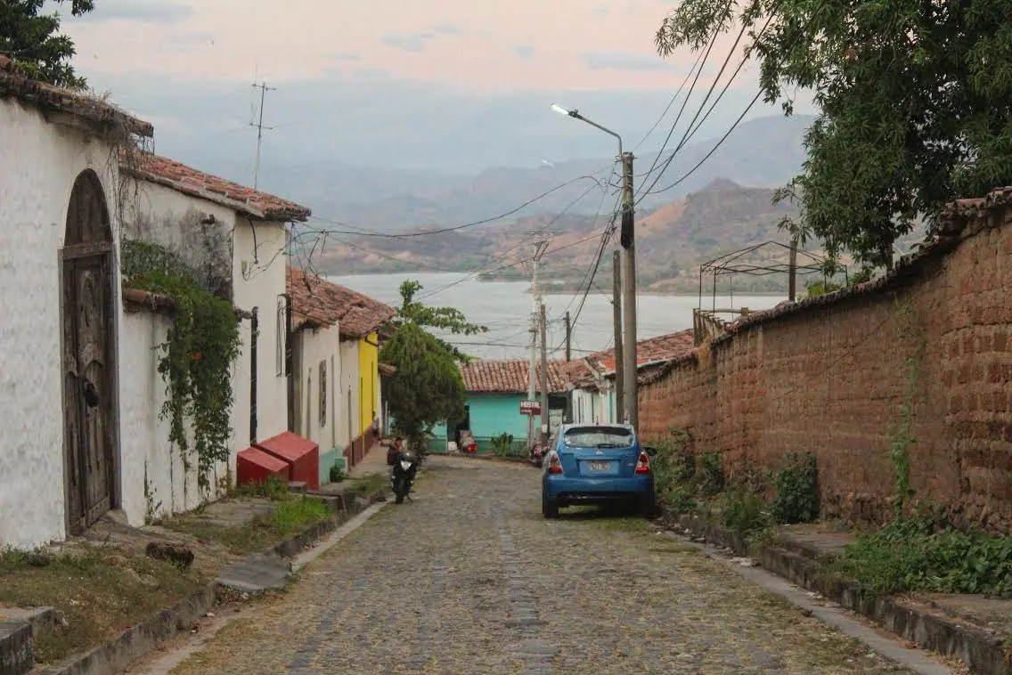
Drive east to Suchitoto, widely considered the country's prettiest colonial town. Whitewashed houses with red-tiled roofs tumble down to Lago Suchitlán, a reservoir on the Lempa River where boat trips circle bird-covered islets — herons, kingfishers and the occasional hawk. The Iglesia Santa Lucía anchors the central plaza, and the town's cobbled lanes hide galleries, indigo-dye workshops and small theatres.
Walk or take a short tuk-tuk ride to Cascada Los Tercios, a rock formation where basalt columns frame a seasonal waterfall, then linger for sunset over the lake. Suchitoto is also the gateway to the Ruta de la Paz in Morazán department, where the mountain town of Perquín and the nearby village of El Mozote document the country's civil war history with quiet memorials and a small museum.
For nature lovers, Parque Nacional El Imposible in the far west is the alternative: steep, forested trails, howler monkeys and views to the Pacific, best tackled with a guide and an early start. Whichever you choose, keep the driving to daylight hours; rural roads are winding and signage is sparse.
Day 6: Surf City and the Pacific Coast
Descend to the coast for the final stretch, aiming for the string of surf towns along the Litoral highway. El Tunco is the best-known, a black-sand cove of hostels, seafood shacks and bars that hums on weekends. A few minutes east, El Sunzal offers long, forgiving right-hand waves ideal for beginners, while Punta Roca near La Libertad is a fast, rocky point break reserved for experienced surfers. El Zonte, a little further west, trades some of the party energy for quieter beach cafés.
Lessons and board rentals are available year-round on most beaches. Swell is generally most consistent through the wet season, while the dry months bring smaller, cleaner waves and reliable sunshine. After a morning session, eat ceviche and fried plantain at a beachfront comedor, then nap in a hammock — this is the part of the trip where doing nothing is the itinerary.
If you would rather trade surfing for somewhere wilder, continue east to Playa El Espino or the mangrove-lined Bay of Jiquilisco for kayaking and turtle nesting. Sunset at any of these beaches, with the volcanoes silhouetted behind you, is the send-off El Salvador does best.
Day 7: Last Morning, Pupusas and the Flight Home
Schedule your final day around your departure time. If your flight leaves in the afternoon, spend the morning at the Puerta del Diablo near Panchimalco for panoramic views over the capital's valley, then stop in the craft town of Panchimalco or the hilltop restaurants of Los Planes de Renderos for a last plate of pupusas and a coffee.
Allow a generous buffer for the drive back to the airport — traffic through San Salvador can double the journey — and expect to pay a small departure tax if it is not already included in your ticket. Most international flights leave in the early afternoon or late evening, so a morning departure from the coast is realistic only if you start before dawn.
A week is enough to see the essentials but not to exhaust them. Travellers who love this country usually come back for the northern highlands, the eastern colonial towns, or simply another long stretch on a Pacific beach.
Frequently asked questions
How do I get around El Salvador for a week?
Renting a car gives you the most freedom, and highways between San Salvador, Santa Ana and the coast are generally good. Alternatively, private shuttles connect the main tourist towns, and cheap public buses cover the same routes more slowly. Ride-hailing apps work well inside San Salvador but are unreliable in rural areas.
What is the best time of year to visit?
The dry season, from November through April, offers the most reliable sunshine, clear volcano views and easy road conditions. May to October is greener and cheaper, with warm mornings and heavy afternoon showers; surf tends to be more consistent in those wetter months.
Is El Salvador expensive?
It is one of the more affordable destinations in Central America. Budget guesthouses and beach hostels, inexpensive local food such as pupusas, and low-cost buses keep daily costs down, while boutique coffee lodges and private transfers push the total higher.
Do I need to speak Spanish?
English is spoken in many hotels, surf schools and tour offices, but everyday Spanish transforms the experience — market vendors, bus drivers and small-town comedores rarely speak anything else. Learning a few phrases about food and directions goes a long way.
Which attractions should I not miss if I only have a week?
Prioritise the historic centre of San Salvador, Joya de Cerén and Tazumal for the Maya past, the Santa Ana volcano crater hike, the painted streets of Concepción de Ataco on the Ruta de las Flores, the lake views at Suchitoto, and at least one sunset on the Pacific coast at El Tunco or El Zonte.
Plan it — flights in El Salvador
Live search, booked directly with trusted providers.
Sort the rest of your trip
Everything for El Salvador, in one place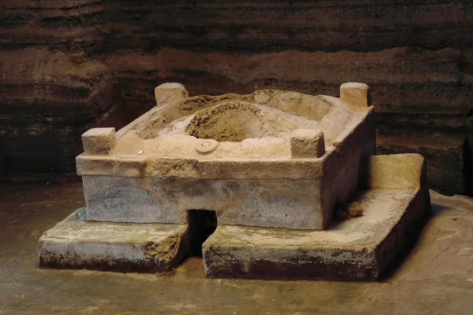
Stay in El Salvador
Hotels, guesthouses and apartments — compared in one search.
Search hotels
Transfer in El Salvador
Private driver waiting on arrival — no queues, no surprises.
Book a transfer
Travel insurance
Medical cover, delays and lost baggage — sorted before you go.
Get covered