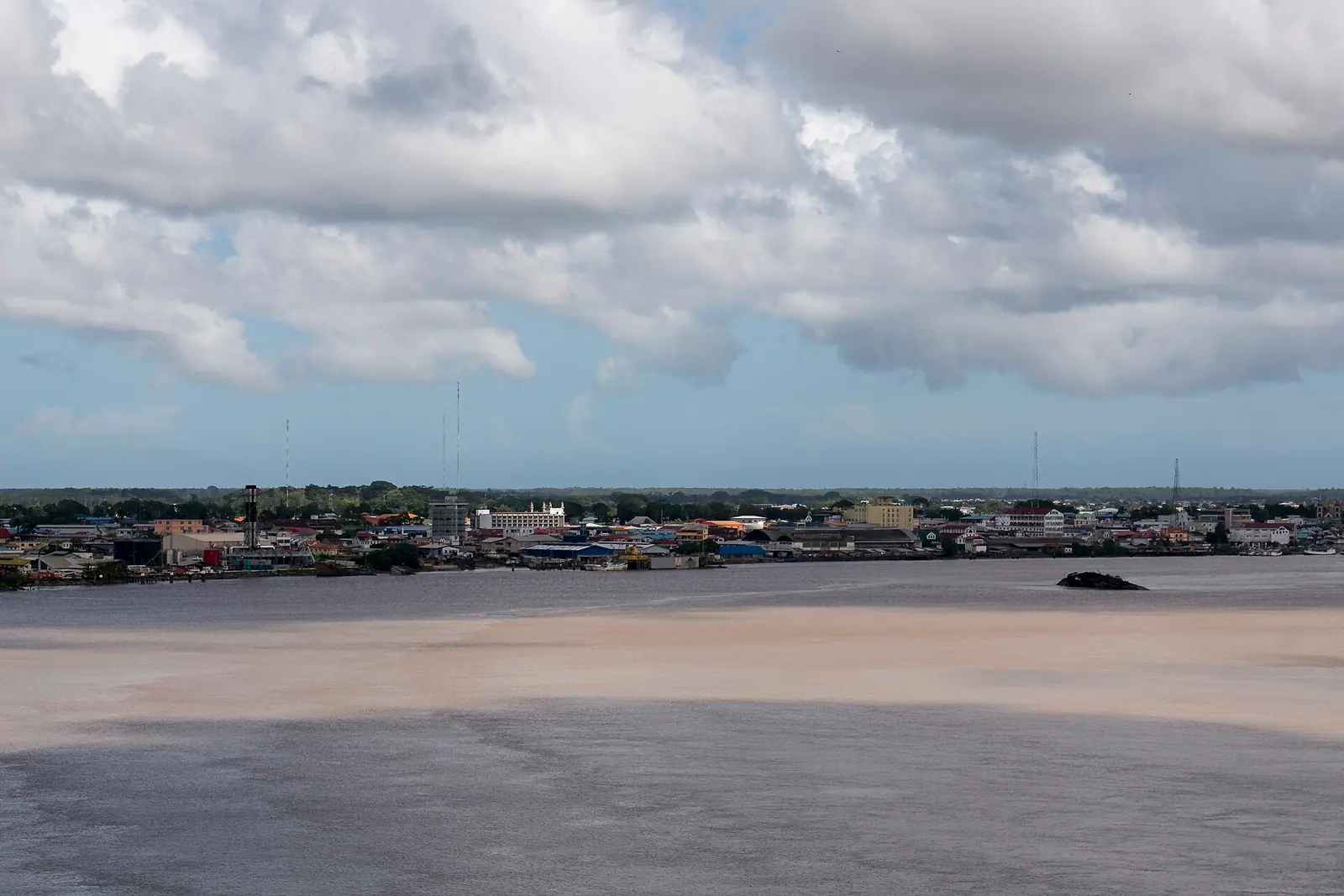
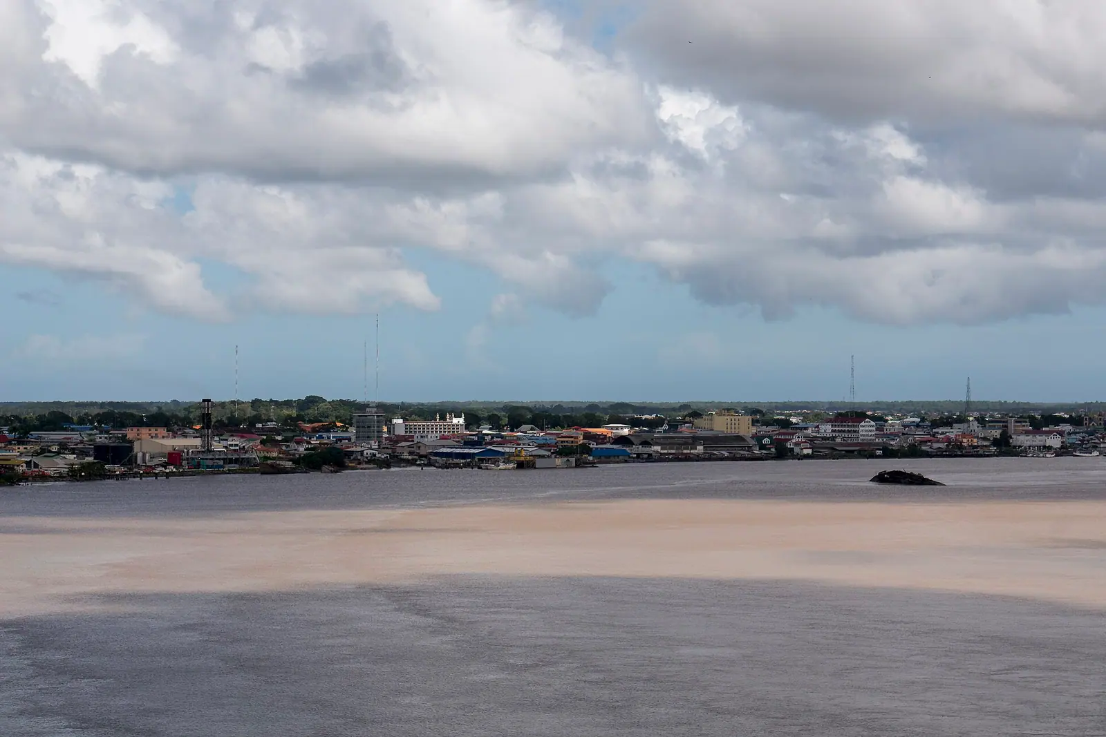
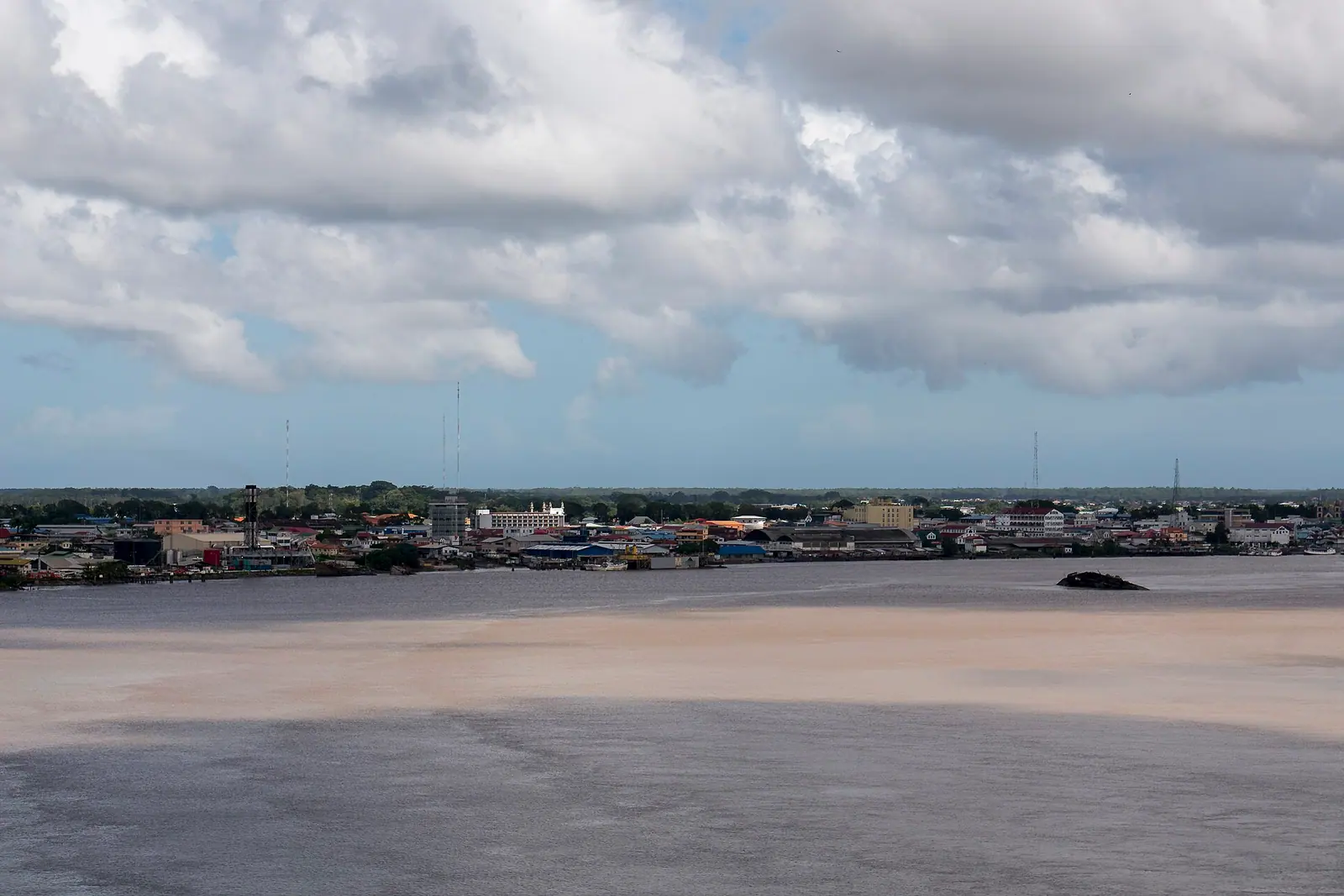
Suriname is South America's smallest country and its most quietly surprising: a Dutch-speaking, left-driving republic where wooden colonial streets give way within hours to black-water rivers, Maroon villages and rainforest that has barely been touched. It packs an entire continent's worth of landscapes into a country smaller than England, and most of it is still empty.
Paramaribo: A Wooden Colonial City on the Suriname River
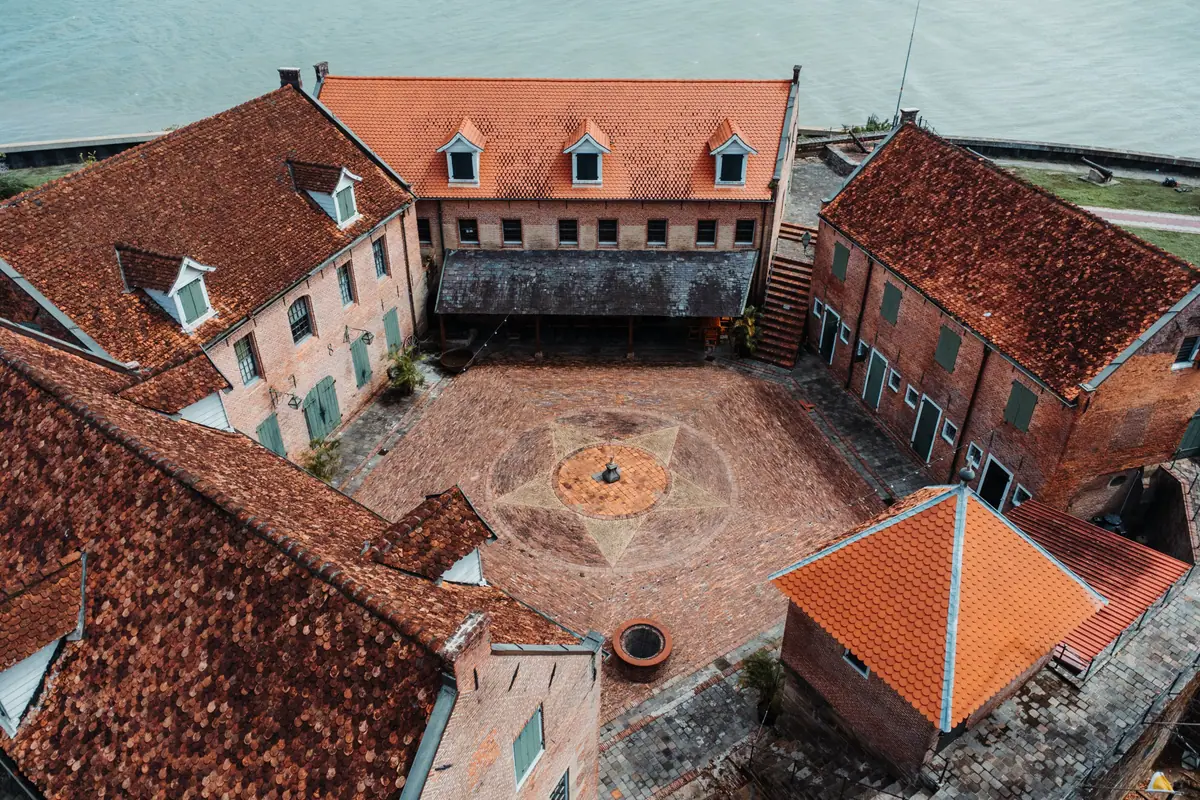
Start in the capital, where the historic inner city was inscribed as a World Heritage site in 2002 for a reason no other place can claim: this is one of the few surviving examples of a Dutch colonial town built almost entirely in wood. The street plan still follows the 17th-century grid, and low white-and-green timber houses with demerara shutters stand shoulder to shoulder along streets that flood in a heavy afternoon shower. On the riverbank, Fort Zeelandia anchors the whole city — a brick stronghold begun in the 1640s, later rebuilt and used as a prison, now a museum whose courtyard, cells and colonial-era collections are best seen in the cooler morning hours.
A short walk inland brings you to Onafhankelijkheidsplein, the tree-shaded Independence Square, fronted by the white Presidential Palace. Slip behind it into the Palmentuin, a formal garden of towering royal palms where capuchin monkeys raid the bins and couples hide from the midday heat. From there, the Waterkant promenade runs along the river with a view of the long bridge that leaps the water to Meerzorg, and the Central Market a few blocks away is where the city's real life happens — piles of cassava, plantain, dried fish, bitter melon and bundles of herbs whose names you will have to ask for.
Two buildings on the same short street explain Paramaribo better than any museum. The Cathedral of Saint Peter and Paul, a neo-Romanesque giant of timber, is one of the largest wooden structures in the Western Hemisphere, its interior cool and creaking underfoot. A few blocks away on Keizerstraat, a synagogue and a mosque stand side by side, sharing a wall and a parking strip — a small, ordinary miracle of a city where Hindustani, Javanese, Chinese, Maroon, Indigenous and Creole communities have lived on top of each other for generations. Give Paramaribo a full two days on foot and let the evenings find you on the Waterkant with a cold drink and a plate of pom.
Across the River: Plantations, Forts and Jodensavanne
The Commewijne district, on the opposite bank of the Suriname River, was once the country's coffee, cacao and sugar engine, worked first by enslaved Africans and later by indentured labourers brought from India and Java. The bridge to Meerzorg makes it an easy half-day from the capital, and the star of the district is Fort Nieuw-Amsterdam, an 18th-century earth-and-brick fort at the point where the Suriname and Commewijne rivers meet. It is now an open-air museum of cannons, barracks and rusting machinery, with a view up both rivers that explains exactly why the Dutch built it there.
Just upriver, the old Frederiksdorp plantation has been stitched back together into a cluster of whitewashed plantation houses and a small garden, a quiet place to understand how these estates functioned — and to eat lunch under a mango tree. Nearby, Peperpot Nature Park occupies the ruins of a former coffee and cacao plantation that the forest has patiently reclaimed: flat, shady trails wind past old factory walls and giant strangler figs, with troops of squirrel monkeys, iguanas and more birds than you can identify without a guide.
Further upstream lies Jodensavanne, the 'Jewish Savannah', where Sephardic settlers established a community in the 1660s and built the brick synagogue of Beraha VeShalom. Its roofless walls and the nearby cemetery, half-swallowed by jungle, are among the most atmospheric ruins in the country, and the site sits on the tentative list for World Heritage status. Access is by boat or a long, bumpy road, so it is usually done as an organised day trip — bring water, insect repellent and shoes you don't mind mudding.
Brownsberg and the Central Suriname Nature Reserve: Into the Interior
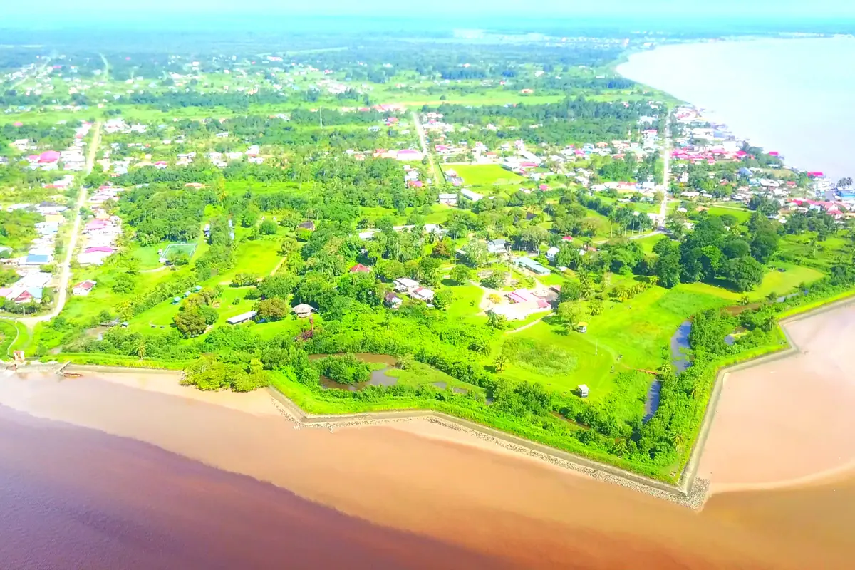
For most visitors, the rainforest starts at Brownsberg Nature Park, about 130 kilometres south of Paramaribo and two to three hours by road along the Afobaka highway. The park sits on a laterite plateau roughly 500 metres above sea level and ends abruptly in an escarpment overlooking the vast Brokopondo Reservoir, a view that on a clear morning looks like an inland sea with islands of dead forest still standing in it. Trails lead down to the Irene Falls and along the plateau rim, where howler monkeys start bellowing before dawn, spider monkeys crash through the canopy and toucans, trogons and manakins make this one of the easiest places in South America to rack up a serious bird list.
Deeper in lies the Central Suriname Nature Reserve, a protected expanse of roughly 1.6 million hectares that was inscribed as a World Heritage site in 2000 and remains reachable only by small aircraft, boat and organised expedition. Its signature sights are the Raleigh Falls on the Coppename River, where black-water rapids pour over smooth rock, and the Voltzberg — a bare granite dome rising out of the forest that you climb before sunrise to stand on a whaleback of stone with nothing but green in every direction. The Tafelberg, a flat-topped mountain further south, is the reserve's other legendary objective.
This is genuine expedition country: expect heat, humidity, mosquitoes, river travel and long days. Yellow fever vaccination is commonly required or strongly recommended, malaria prophylaxis is worth discussing with a travel clinic for interior trips, and independent travel is not realistic — go with licensed local guides who arrange permits, boats and hammock camps. The drier windows, roughly February to April and late August to November, make trails and river crossings noticeably easier.
Galibi: Where Leatherback Turtles Haul Out of the Atlantic
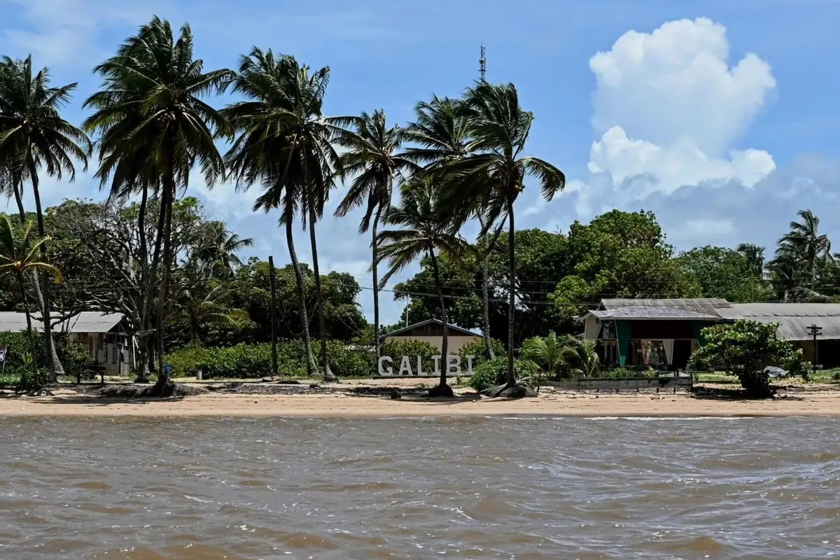
On the far eastern coast, where the Marowijne River empties into the Atlantic near the town of Albina, the Galibi Nature Reserve protects one of the most important sea turtle nesting beaches in the Guianas. Four species come ashore here — leatherback, green, olive ridley and, more rarely, hawksbill — between roughly March and August, with the heaviest activity usually in April, May and June. Watching a leatherback the size of a small car drag herself up the sand at night, dig a body pit with her rear flippers and lay a clutch of eggs is the kind of experience people rearrange whole trips for.
The nesting beach is patrolled with trained guides from the nearby Indigenous villages of Christiaankondre and Langamankondre, and the rules exist for the turtles' sake: no white torches, no flash photography, no touching, no standing between a turtle and the sea, and absolute quiet when a female is digging. Your reward is not just the turtles but the whole theatre of it — hatchlings boiling out of the sand later in the season, ghost crabs, and the constant roar of surf on a beach with no buildings behind it.
Getting there means a drive of four to five hours from Paramaribo along the eastern highway, then a boat across the river mouth to simple village guesthouses with mosquito nets and shared bathrooms. Two nights is the sensible minimum, since the best turtle activity happens after dark and the sea does not consult your schedule. Combine it with a morning in the mangroves, where scarlet ibis and herons feed in the shallows.
Maroon River Country: Brokopondo and the Upper Suriname
In the 1960s a dam was built across the Suriname River at Afobaka to power aluminium smelting, and the resulting Brokopondo Reservoir swallowed villages, roads and forest. Today it is one of the largest man-made lakes on earth by surface area, its water stained the colour of strong tea, with skeletal trunks poking through the surface and locals fishing from dugout canoes. Closer to the capital, in Para district, the creeks at Colakreek and Blaka Watra turn the same deep cola brown and have become the country's favourite weekend swimming spots — picnic tables, inner tubes, and families blasting music from car boots.
Upstream, past the village of Atjoni, the river becomes the highway. This is Saamaka Maroon territory, settled by communities descended from enslaved Africans who escaped the coastal plantations and rebuilt their lives deep in the forest, keeping their own language, kinship systems and spiritual practices. Villages such as Gunsi and Nieuw Aurora take in guests in simple wooden lodges, and days are spent in long motorised canoes running rapids, visiting painted wooden shrines, watching drumming and dance in the evening, and eating rice with cassava and river fish by lamplight.
Practicalities matter here. There is no ATM and rarely reliable card payment in the interior, so carry enough Surinamese cash for the whole trip. Boat journeys between villages can run from one to four hours and are weather-dependent. Ask before photographing people or ceremonies, pack a headlamp and quick-dry clothing, and treat the river as the powerful thing it is — life jackets are not optional.
Timing, Food and Getting Around: Suriname Practicalities
Suriname is hot and humid all year, with temperatures usually between 24°C and 32°C. The heaviest rains fall from late April to mid-August, with a shorter wet spell in December and January, so the sweet spots are roughly February to early April and September to November. Those windows also line up with the best trekking, the calmest river crossings and good turtle numbers at Galibi. The one hard rule: bring far more insect repellent and far fewer shoes than you think you need.
Getting around is easier than the map suggests. The country drives on the left, a Dutch-era hangover that catches out every rental car driver at least once. The East-West Highway links Paramaribo with Albina in the east and Nieuw Nickerie in the west, and minibuses and buses run these routes from early morning. For the interior, you either fly into a small airstrip, travel by boat, or join a guided expedition; the capital itself, however, is compact and genuinely walkable. In the far west, around Nieuw Nickerie, the Bigi Pan lagoon is the draw — a shallow wetland of mangroves and mudflats where boat trips at dawn produce clouds of wading birds, terns and ibis over flooded rice fields.
The food alone justifies the flight. Pom, a baked casserole of chicken and grated taro root, is the national dish; roti comes wrapped and generous from Hindustani kitchens; saoto soup is a Javanese-Surinamese staple sold in warungs; and street stalls fry up baka bana, plantain dipped in batter and served with peanut sauce. The official language is Dutch, Sranan Tongo is the language of the street, and English is widely understood in tourism and hotels. Cash in Surinamese dollars goes further than cards outside Paramaribo, tipping around ten per cent is welcome, and a yellow fever certificate plus malaria advice for interior travel are worth sorting weeks before departure.
Frequently asked questions
How many days do you need in Suriname?
Seven to ten days is a comfortable itinerary: two days walking Paramaribo's historic centre, a day in the Commewijne plantation district, two or three nights in the rainforest at Brownsberg or on the Upper Suriname River, and two nights at Galibi for the turtles. With only four or five days, choose the capital plus one interior or coastal trip rather than trying to do everything.
When is the best time to see leatherback turtles in Suriname?
Nesting at Galibi generally runs from March to August, with peak activity usually April through June. Trips go out at night with local guides from the villages near Albina, and the season also brings green and olive ridley turtles. Later in the season you may see hatchlings emerging, though that timing is less predictable.
Do I need a visa to visit Suriname?
Entry rules depend on your nationality. Many visitors can enter with a tourist card arranged online in advance or on arrival, while some nationalities need a visa and others travel visa-free. Check the current requirements with the nearest Surinamese embassy or consulate well before booking flights, and make sure your passport has at least six months' validity.
Is Suriname safe for travellers?
Suriname is generally calm and welcoming, with the main risks being petty theft in busy parts of Paramaribo and the usual hazards of remote travel. Use common sense at night, keep valuables out of sight, travel into the interior with licensed guides, and do not attempt unguided river or forest trips. Check your government's current travel advice before you go.
What language do people speak in Suriname, and can I get by in English?
Dutch is the official language, Sranan Tongo is the everyday lingua franca, and you will also hear Sarnami, Javanese, Maroon languages and Indigenous tongues. English is widely spoken in hotels, tour offices and restaurants in Paramaribo and is usually understood in the interior tourism villages, so travelling without Dutch is perfectly manageable.
Plan it — experiences in Suriname
Live search, booked directly with trusted providers.
Sort the rest of your trip
Everything for Suriname, in one place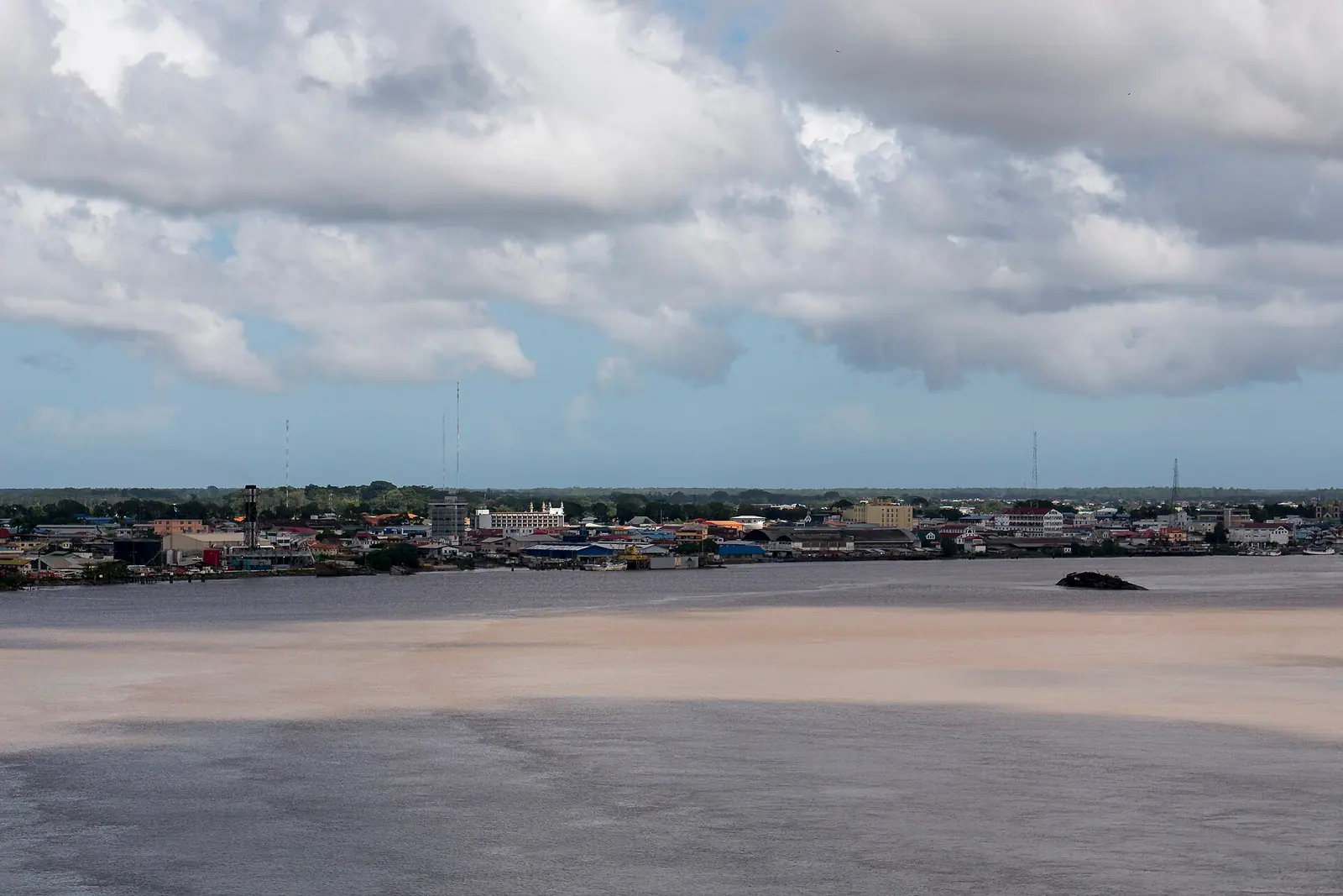
Stay in Suriname
Hotels, guesthouses and apartments — compared in one search.
Search hotels
Transfer in Suriname
Private driver waiting on arrival — no queues, no surprises.
Book a transfer
Stay online in Suriname
Travel eSIM — data the moment you land, no roaming bills.
Get an eSIM