Lesotho is a country you travel through vertically: a high-altitude kingdom of basalt cliffs, pony tracks and waterfalls that drop off the edge of the world. Everything worth seeing here sits above 1,400 metres, and most of it is reached on gravel roads that reward slow, deliberate travel. Here are the places a first-time visitor should build an itinerary around.
Sani Pass: Entering the Kingdom on the Roof of Africa
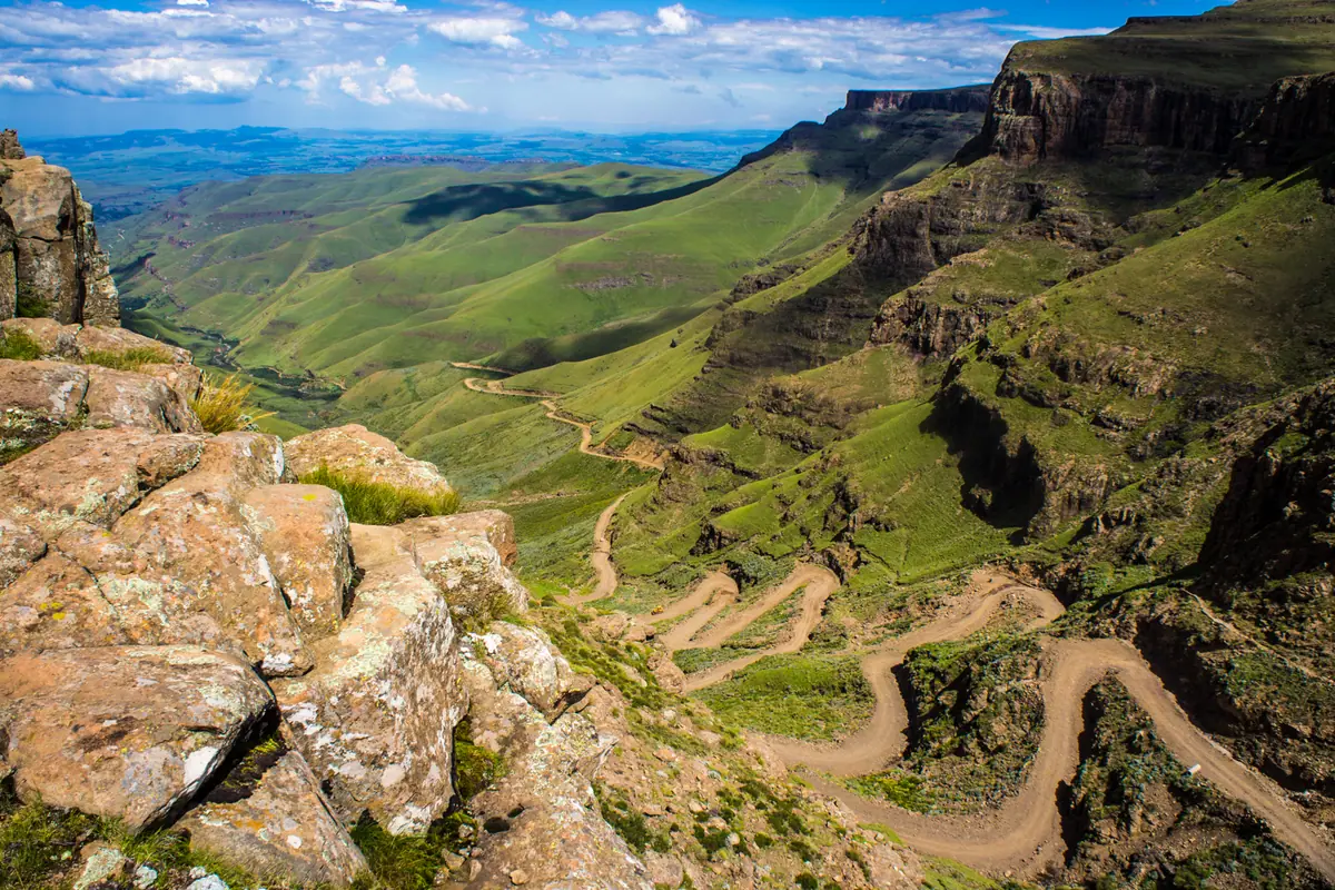
The most theatrical way into Lesotho is the Sani Pass, a gravel 4x4 track that claws roughly 1,300 vertical metres out of the KwaZulu-Natal foothills in barely nine kilometres of hairpins, switchbacks and loose rock. Ordinary cars cannot manage it — you need genuine four-wheel drive, low range and a tolerance for meeting oncoming vehicles on single-width corners. Passports are stamped at the bottom border post and again at the top, so budget time at both ends, especially in the busy dry-season months.
At 2,874 metres, Sani Top usually sits above the cloud line, and on a clear morning the view back down the escarpment is one of the great panoramas of southern Africa. A stone-built tavern up here claims the title of the continent's highest pub, which is as good an excuse as any to acclimatise over lunch. Snow can shut the pass between June and August, and ice makes it genuinely dangerous; the clearest, driest window runs from April to September. Beyond the summit the road rolls on to Mokhotlong, where Basotho herdsmen in gumboots and blanket cloaks move sheep and cattle across a treeless plateau.
Maletsunyane Falls and Semonkong: Water, Rope and Hooves
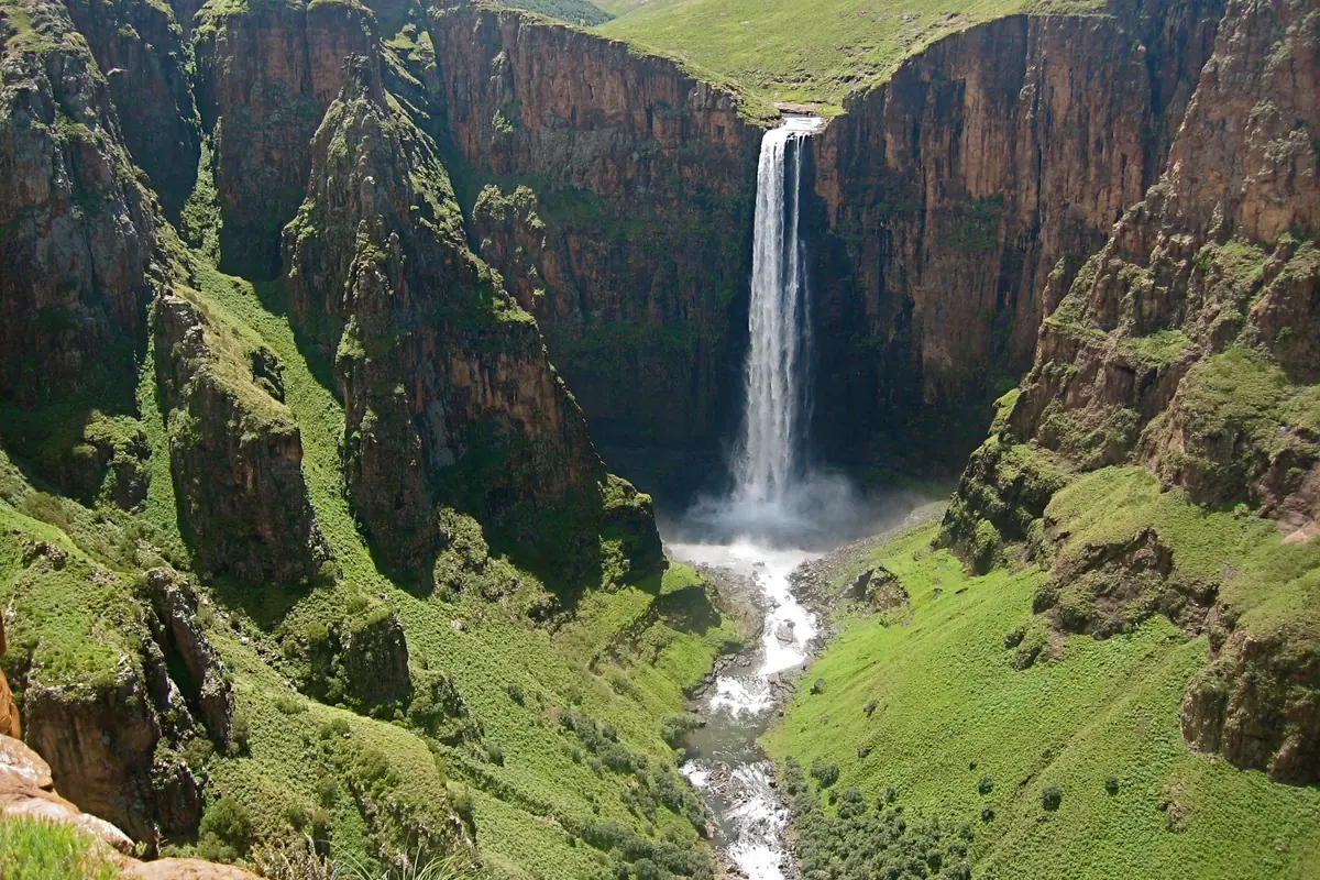
The Maletsunyane River launches itself 192 metres off a basalt lip into a shadowed gorge, making this one of the highest single-drop waterfalls in southern Africa. After the summer rains of December to March the volume is at its most thunderous, throwing a permanent plume of mist and, on sunny afternoons, a rainbow that arcs across the whole gorge. Viewpoints sit within an easy walk of the small highland village of Semonkong, though the drive from Maseru takes two to three hours, with the final stretch on rough gravel.
Semonkong is also the base for the descent that made it famous: a 204-metre guided abseil down the cliff face beside the falls, among the longest commercial abseils anywhere in the world. It is a full-day undertaking, with harnesses, rope skills and a steep walk back out of the gorge, so only sign up if you are reasonably fit and comfortable with heights. If dangling over a waterfall sounds excessive, do it on horseback instead — Basotho ponies are small, sure-footed and bred for terrain like this, and multi-day rides between villages and shepherd huts are the most authentic way to see the interior. Trout fishing and rock climbing fill the rest of the daylight.
Katse Dam, Bokong and the Maloti Highlands
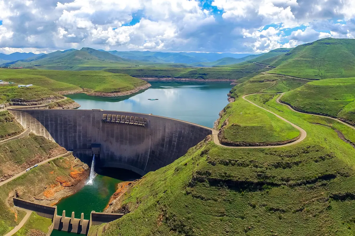
Katse Dam is an engineering spectacle set in a landscape that makes it look almost modest: a double-curvature concrete arch rising 185 metres out of the Malibamat'so valley, among the highest dams in Africa. Guided walks along the crest usually run on weekdays, and from the wall you can watch the reservoir snake away into drowned valleys, its surface a mirror for the surrounding peaks. The dam exists to move water south through a system of tunnels and transfer schemes, and the visitor experience is as much about the sheer scale of highland engineering as it is about the view.
Above it, the Maloti highlands offer the country's best hiking. Bokong Nature Reserve, near the top of the Moteng Pass, guards the dramatic Lepaqoa Falls — which freezes into a column of ice in midwinter — and cliff ledges used by bearded vultures. Farther east, Thabana Ntlenyana tops out at 3,482 metres, the highest point in southern Africa, and climbing it is a serious two- to three-day trek usually approached from the Sani Pass side. Villages up here sit above 2,000 metres, so give yourself a day to adjust before committing to long walks.
Thaba Bosiu, Maseru and the Historic Lowlands
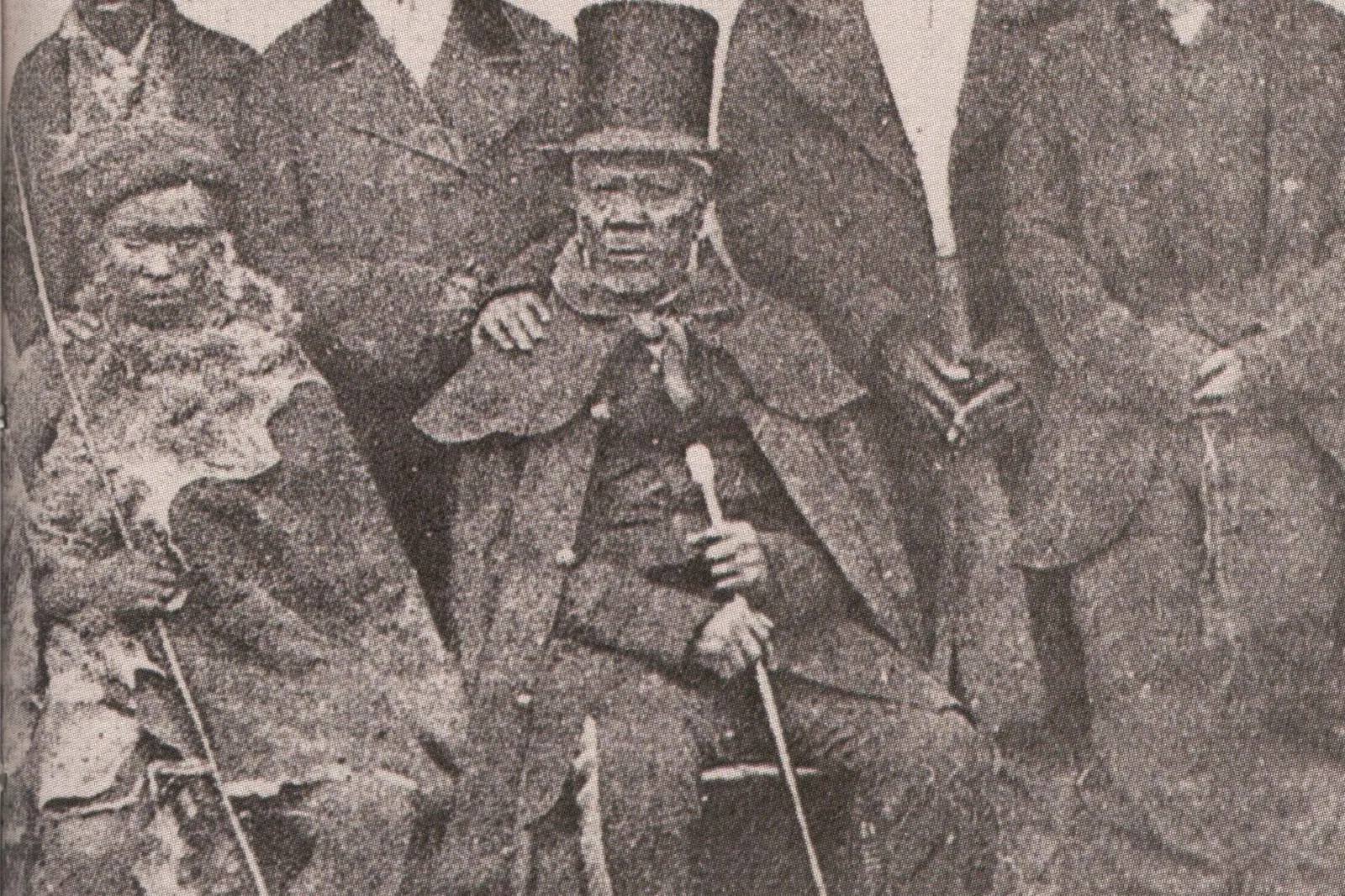
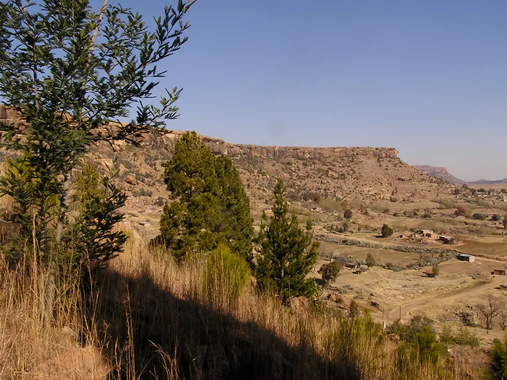
Thaba Bosiu is the spiritual heart of the country: a flat-topped sandstone plateau about 25 kilometres east of Maseru that served as the mountain fortress of King Moshoeshoe I and was never taken in battle. Today it is a national monument, with royal graves, traces of stone walls and defensive gateways, and guided walks that lead you up the same accessible pass the defenders used. Go in the late afternoon, when the light turns the cliffs orange and the plateau empties of day-trippers.
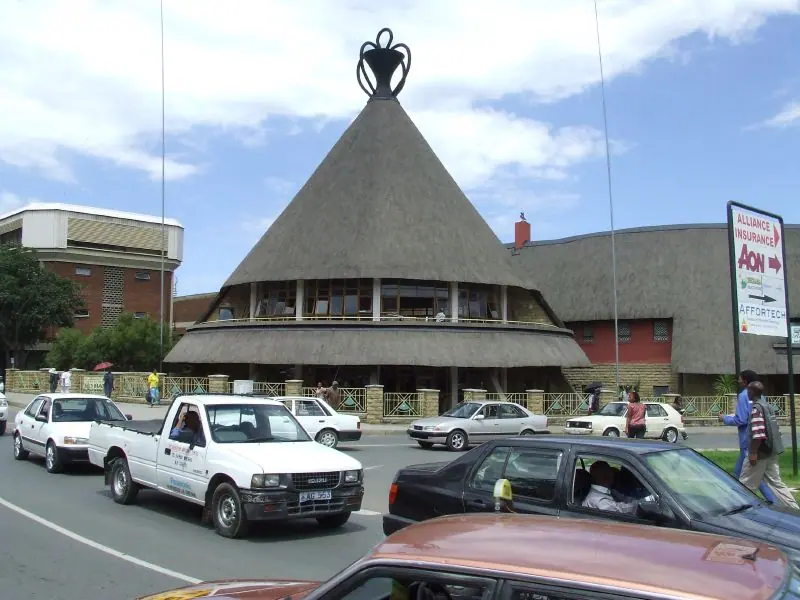
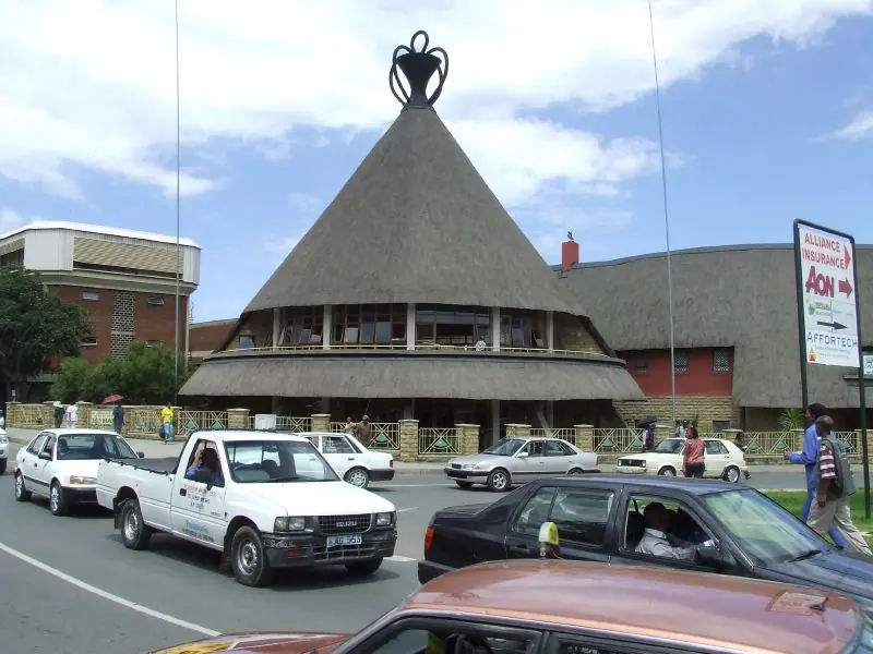
Maseru itself spreads along the Caledon River and makes an easy base, with craft stalls selling the woven Basotho hats and heavy blankets that are still everyday wear in the highlands, plus a royal palace and a small national museum worth an hour. Forty-five minutes south, Morija is one of the oldest mission stations in the country, and its museum and archives hold rock art, fossils and records stretching back to the nineteenth century; an arts and cultural festival brings music and dance to the village each October. North of Maseru, near Teyateyaneng, the Kome Caves are a cluster of dwellings carved into soft rock that were still inhabited within living memory — a fascinating, little-visited detour.
Sehlabathebe National Park and the Southern Wilds
Sehlabathebe National Park is Lesotho at its most remote and strange, a high sandstone plateau strewn with arches, freestanding rock towers known as the Rock Islands, and shallow pools that reflect the sky. It forms part of a cross-border World Heritage listing shared with the Drakensberg, recognised for its San rock art and its extraordinary plant life, and it shelters bearded vultures, Cape vultures and the rare bald ibis. There are no shops, no fuel and no reliable phone signal, so arrive self-sufficient with food, water, cash and warm layers.
Getting there is half the adventure. The usual approach is through Qacha's Nek in the far south, and the final stretch is rough enough that a high-clearance vehicle or 4x4 is wise; after heavy rain, sections can become impassable altogether. Once in, hikes of two to five hours link rock shelters, waterfalls and viewpoints, and you can camp or stay in basic stone huts. On the way south, stop around Quthing, where sandstone cliffs hide rock art and a remarkably preserved cave house museum, and where dinosaur footprints are imprinted in the riverbed nearby.
Winter Snow, Skiing and the Northern Parks
Lesotho is one of the very few places in southern Africa where you can ski. The slopes near Oxbow, on the A1 between Butha-Buthe and Mokhotlong, sit close to 3,000 metres and usually operate from June to August, offering short runs, hire equipment and gentle beginner terrain rather than anything alpine in scale. Snow can dust the high passes any time from May to September, and even in summer the weather changes fast — locals joke that you can experience four seasons before lunch, and they are only half joking.
The north rewards a slower loop. Ts'ehlanyane National Park, tucked into a valley below the Holomo Pass near Butha-Buthe, protects a rare patch of indigenous forest with day walks, longer trails and horse riding through the trees. Close by, Liphofung Cave is a sandstone overhang covered in San rock art and traditionally associated with Moshoeshoe I, while the nearby Subeng riverbed preserves dinosaur footprints that are easy to find with a local guide. Combine these with a drive over the Moteng Pass and you have the country's most accessible introduction to highland scenery without touching a 4x4 track.
Frequently asked questions
When is the best time of year to visit Lesotho?
April, May, September and October are the sweet spots: dry roads, clear mountain views and comfortable daytime temperatures, though nights drop below freezing from May onwards. June to August is ski season and brings snow on the high passes, which can close Sani Pass and make gravel roads tricky. December to March is green and warm with full waterfalls, but afternoon thunderstorms and mist are common.
Do I need a 4x4 to travel around Lesotho?
For the main tarred routes between Maseru, Butha-Buthe, Hlotse and Mokhotlong, an ordinary car is fine. But Sani Pass, the roads around Semonkong and the approach to Sehlabathebe National Park call for genuine four-wheel drive or at least high clearance, especially after rain. Distances look short on the map but take far longer than you expect, so plan on roughly 40 kilometres per hour on gravel.
How many days do you need in Lesotho?
Three to four days covers Maseru, Thaba Bosiu, Morija and a night near Semonkong or the northern parks. A week lets you add Katse Dam, a pony-trekking overnight and a run up to Sani Top. Ten days is realistic if you want Sehlabathebe or a trek to Thabana Ntlenyana, since both involve long, slow drives and at least one night under canvas or in a stone hut.
Is altitude a concern in Lesotho?
It can be. Even the lowlands sit around 1,400 metres and many villages are above 2,000, with the highest peaks past 3,400. Headaches, breathlessness and poor sleep are common in the first day or two, so take the first 24 hours easy, drink more water than usual, skip alcohol at altitude and avoid scheduling a big hike immediately after arrival.
What money is used in Lesotho and can I pay with South African rand?
The local currency is the loti, divided into 100 lisente, and it is pegged one-to-one to the South African rand. Rand notes are accepted almost everywhere and change is often given in a mix of both currencies, which is perfectly normal. Bring cash for rural areas, village stays, pony guides and park fees, because card machines are scarce once you leave Maseru.
Plan it — experiences in Lesotho
Live search, booked directly with trusted providers.
Sort the rest of your trip
Everything for Lesotho, in one place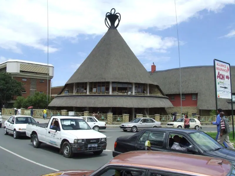
Stay in Lesotho
Hotels, guesthouses and apartments — compared in one search.
Search hotels
Transfer in Lesotho
Private driver waiting on arrival — no queues, no surprises.
Book a transfer
Stay online in Lesotho
Travel eSIM — data the moment you land, no roaming bills.
Get an eSIM